
Introduction
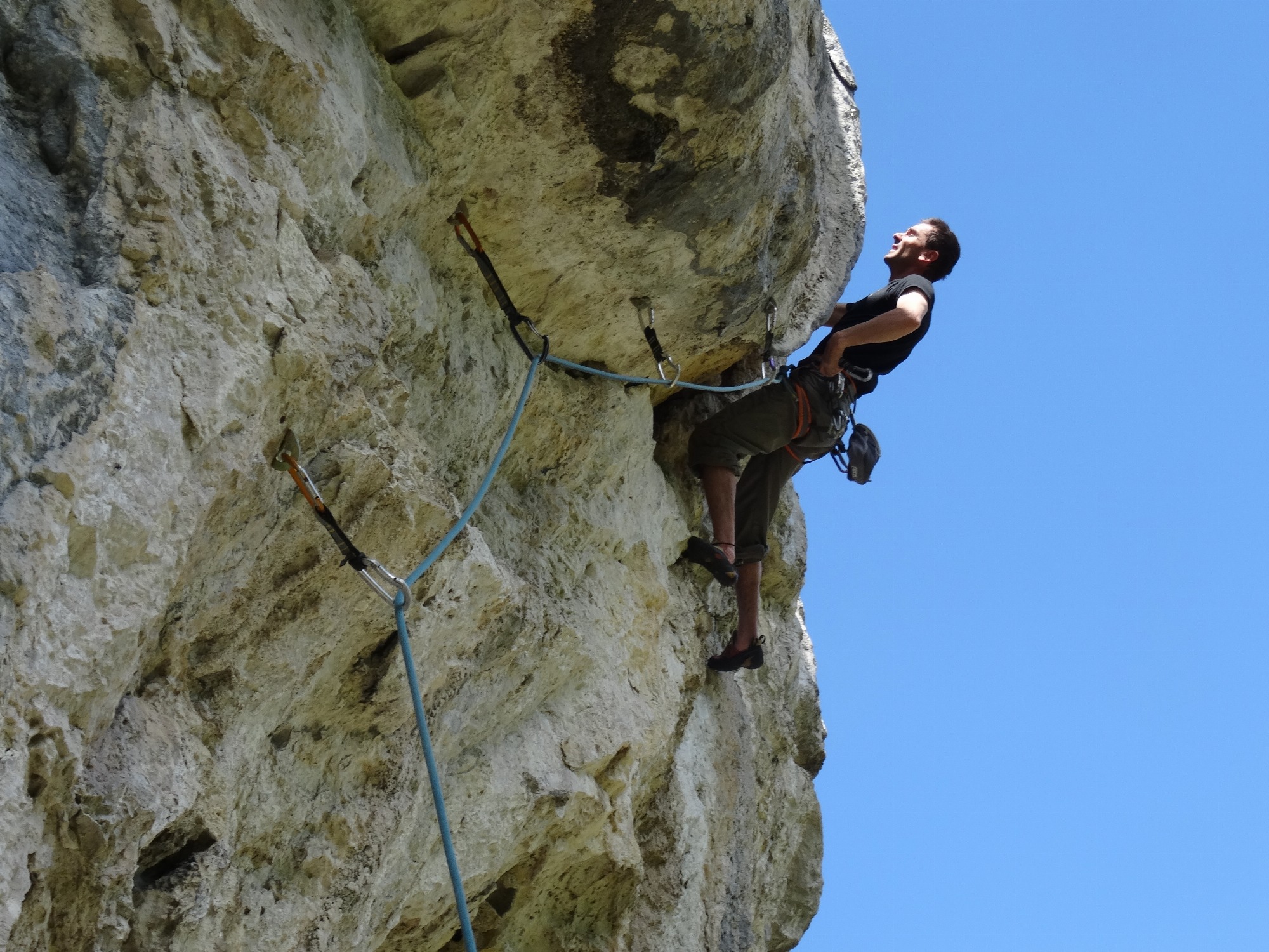
Nice routes in a beautiful, quiet and wild area. The easiest routes are well equipped.
Massif: Vercors
IGN map: 3236 OT
Altitude: 880 m
Direction: east
Approach time: 15 mn
Favourable period: spring to autumn
Rock: limestone
Number of routes: 24
Minimum track height: 15 m
Maximum route height: 25 m
Practice level: grades 5c to 8a
Climbing style: slight technical overhangs
Access: From Saint-Guillaume, head towards Saint-Andéol (D242a). After crossing the river (la Gresse), park in the 1st hairpin bend. The site overlooks the end of the Moules Marinières canyon on the right bank.
Approach: from the parking lot, follow the road to the 2nd hairpin. Head towards the river for 30m, then climb right up a scree slope to reach a path overlooking the canyon. Cross it a little further on by a low wall (former dam). Cross to the side to reach the fixed ropes leading to the site.
Opening Hours / Rates
Rates
Free access.
Location
38650 Saint-Guillaume
Latitude : 44.95517
Longitude : 5.567818
A découvrir aussi
The Mont Aiguille Guides' office offers summer and winter activities, as well as activities for schools, local authorities and companies.
Bureau des Guides du Mont Aiguille
Monestier-de-Clermont
Canyoning, Via Corda, Via Ferrata, Climbing
All these activities can be enjoyed with family, friends or on your own, in discovery or sport mode.
We offer outings to suit all levels and interests.
Isère Verticale
Sinard
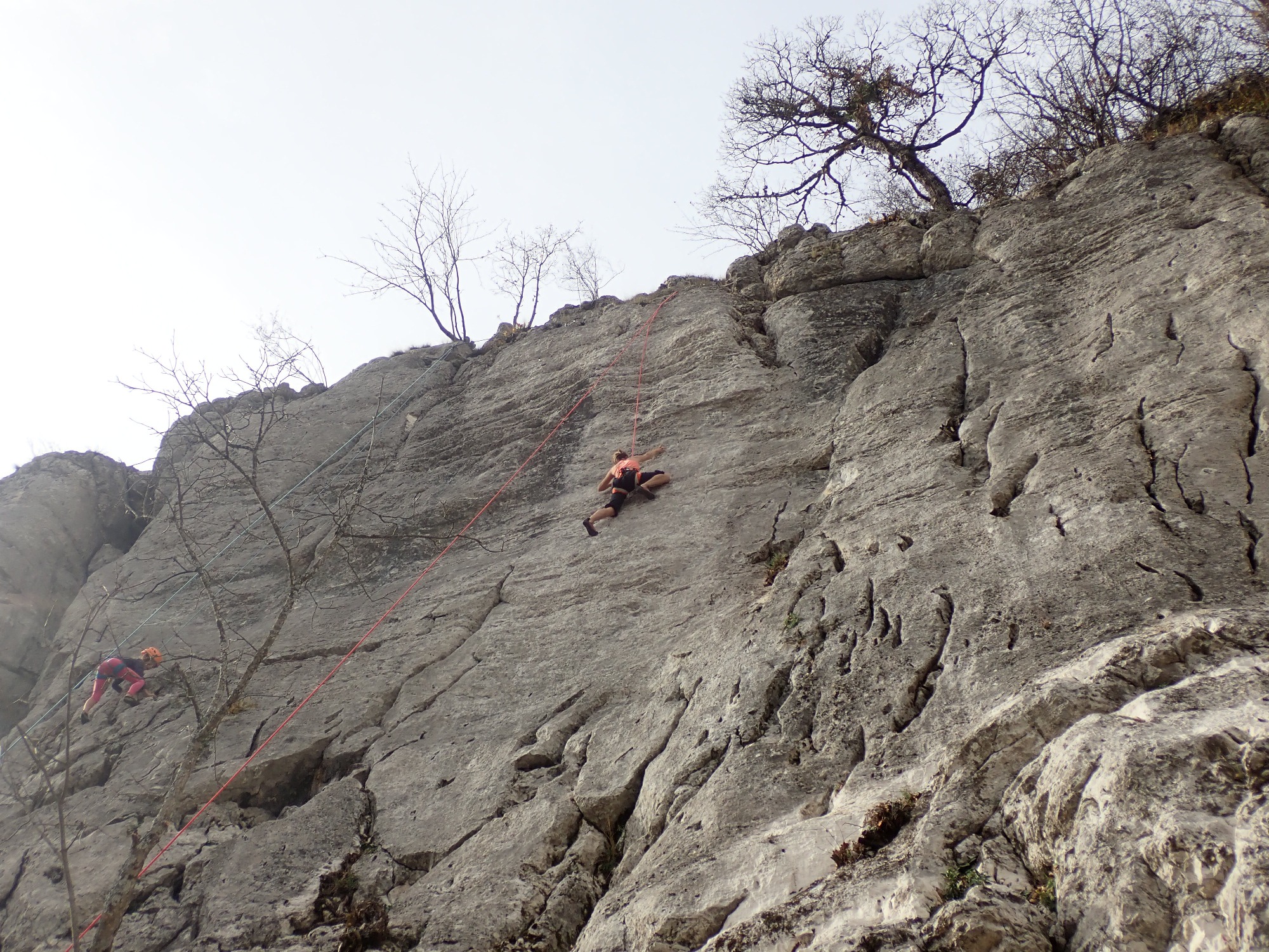
The Merlé climbing site is quiet with a beautiful view over the southern massif. The sector is ideal for a skilled climber: difficulty between 5c and 6c and height of 25m. The climbing is varied and technical, with holes, cracks and rulers.
Merlé climbing site
Saint-Andéol