
Hike description
Type
Signposted Loop
The audience
- For beginners / novice
Introduction
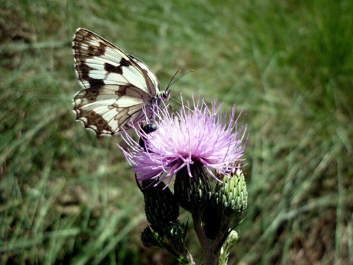
Located at an altitude of 1,080 meters, this marsh nestled in the hollow of the Tréminis cirque is a refreshing oasis, shaped by mountain streams and forestry activities.
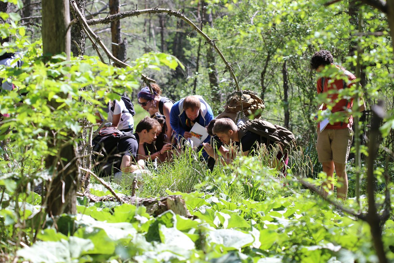
It is home to a mosaic of diverse habitats teeming with biodiversity!
This marsh is unique in that it lies along the line of mountain passes connecting the Northern Alps to the Southern Alps, right in the heart of a climatic transition zone. As a result, plants with Mediterranean affinities, such as the Montpellier thistle, and others that thrive in colder conditions, such as the beautiful marsh marigold, coexist within a small area.
Further information on this Hiking Trail
Suivre les panneaux verts "ENS Marais du Pravet" pour accéder au site, puis suivre les flèches vertes pour la boucle de découverte.
Other information
Fiche pédagogique plastifiée à disposition au panneau d'entrée de site (à utiliser sur place)
Useful information
Local Services
Step by step
Départ : A la sortie sud du hameau de Château-Bas, prendre la route à droite en direction de la scierie Barthalay. La franchir et se garer sur la droite au niveau d’un poteau de randonnée et d’un réservoir d’eau bétonné.
Possibilité de parking plus proche mais la route est endommagée
1) Suivre les panneaux verts “ENS Marais du Pravet” qui invitent à remonter la route en direction du fond de vallée.
2) Continuer tout droit en coupant les lacets de la route.
3) Continuer encore toujours tout droit jusqu’au panneau d’entrée de l’ENS Marais du Pravet.
4) Prenez une fiche pédagogique à gauche du panneau d’accueil et partez sur la boucle découverte en suivant les flèches vertes posées sur les poteaux en bois.
5) Après être revenu à l’entrée de l’ENS et avoir redéposé votre fiche pédagogique, retour par le même itinéraire !R8638056
Location
Pravet
38710 Tréminis
At the southern end of the hamlet of Château-Bas, take the road on the right toward the Barthalay sawmill. Drive past it and park on the right near a hiking signpost and a concrete water tank. There is a closer parking area, but the road is damaged.
Latitude : 44.731135
Longitude : 5.743642
A découvrir aussi
Entre les Alpes du Nord et du Sud, le marais du Pravet abrite une mosaïque de milieux diversifiés : prairies sèces, marais, pinèdes… venez à la rencontre de cette biodiversité foisonnante!
A la découverte du marais du Pravet
Tréminis
Situé à 1080 mètres d’altitude, ce marais niché dans le creux du cirque de Tréminis est une perle de fraicheur, marqué par les torrents et l’activité sylvicole. Une boucle facile d’environ une heure vous fera voyager à travers la diversité de sa flore.
Espace Naturel Sensible du marais du Pravet
Tréminis