Introduction
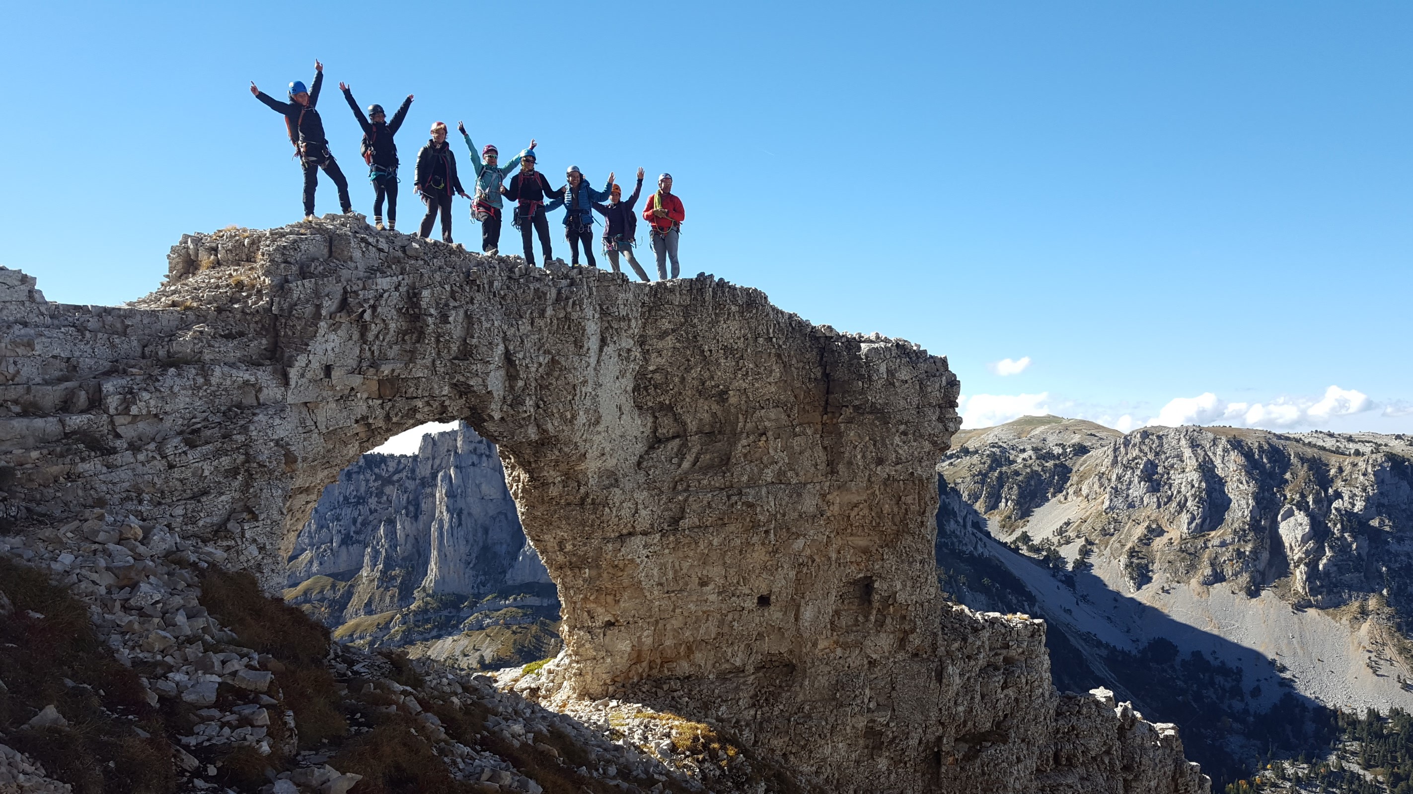
Le Chatel, or Bonnet de Calvin, is the northernmost point of the Dévoluy.
From the parking lot, allow an hour to reach the tracks.
But once up there, what a panorama!
Massif: Dévoluy
IGN map: 3337 OT
> Altitude: 1700m
> Orientation: West-South-West
> Approach time: 1h
> Favourable period: summer, autumn
> Rock: limestone
> Number of routes: 30
> Minimum track height: 15 m
> Maximum route height: 35 m
> Climbing ability: grades 4c to 8a
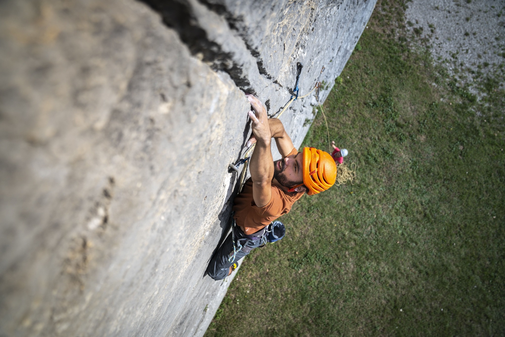
> Climbing style: There are few overhangs here (except under the leaning boulder), but the climbing is varied and physical (it doesn't look steep... and yet it is). Cracks, steep walls, no boulders... take your pick! An adventure route (Pichou Line, 6a) for which you can use a set of friends (up to a
2.5) and a few ropes.
Other information
It is your responsibility to assess your climbing ability. Respect safety rules. Check your equipment. FAUNA AND FLORA: The tiny, small-flowered forget-me-not finds refuge in the cracks of the cliff. This species is protected, as are certain rock birds: peregrine falcon and raven. If you observe any of these species while climbing, don't hesitate to pass on the information to the LPO Isère. Black grouse can nest in the grasslands at the foot of cliffs. Avoid climbing before the end of May.
Opening Hours / Rates
Rates
Free access.
Location
Parking de Baret
38710 Mens
How to get there : > by car: go to Mens, then follow signs for Châtel-en-Trièves, Pellafol. Before leaving the village, follow "route de Châtel". 2km of toure, then 3km of piste lead you to the Barret parking lot. > From the parking lot, follow the sign "Châtel : 1h50, les granges de Châtel". At the foot of the cliffs, follow a pretty "site d'escalade" sign to the right. You're almost there! Another 15 minutes along the cliffs.
Latitude : 44.813193
Longitude : 5.806575