
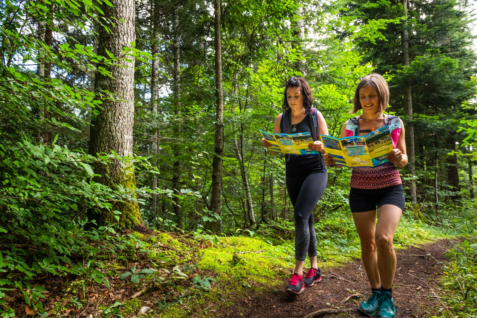
Hike description
Type
Signposted Loop
The audience
- Children
- Walkers/hikers
- Teenagers
Introduction
Sentier de l'eau, au fil de la Gresse is a safe, easy-to-access itinerary for discovering water in all its forms.
This itinerary takes in the wetlands, crosses the Gressette stream and runs alongside the Gresse river. Interpretation stations along the way help you to better understand the vital role played by water in the commune of Gresse-en-Vercors.
Pets welcome : yes
Further detail on accompanying pets : Dogs allowed on leash.
Further information on this Hiking Trail
Bollards with blue plates indicating mileage and direction
Map reference
Cartoguide "Promenades et randonnées en Vercors-Trièves"
Other information
Adapt your equipment to your level and the weather. Stay on marked trails.
Useful information
Local Services
Facilities
Access
Step by step
Start: Bakery parking lot, opposite the foyer nordique, next to the bus shelter ("La Rivoire" post).
1. Cross the small bridge towards the campsite on the tarmac road, then continue on a footpath that starts just to the left of the campsite entrance.
2. Go straight ahead, cross the wooden footbridge, and continue to the forest entrance, where the route forks to the right.
3. A little further on, the path turns right again towards the village.
4. Go past a large house, turn right just before the small bridge, and follow the river "La Gresse" back to your starting point.
Location
Parking de la boulangerie
Abri-bus
38650 Gresse-en-Vercors
Latitude : 44.89776
Longitude : 5.554254
Altitude : 1217m
A découvrir aussi
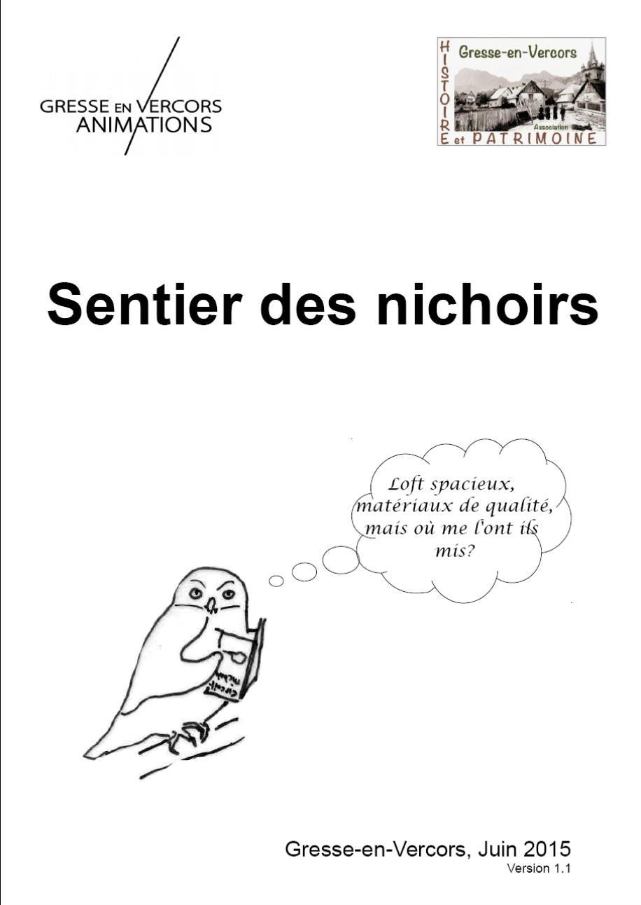
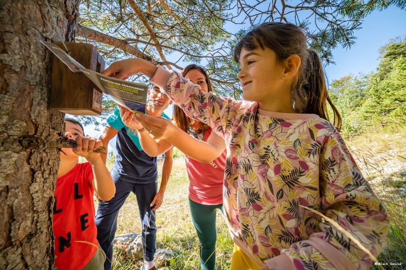
Discover the different birds that nest in nest boxes made and installed by the association "Gresse en Vercors, Histoire et Patrimoine". The walk is easily accessible to families.
Nest box trail
Gresse-en-Vercors
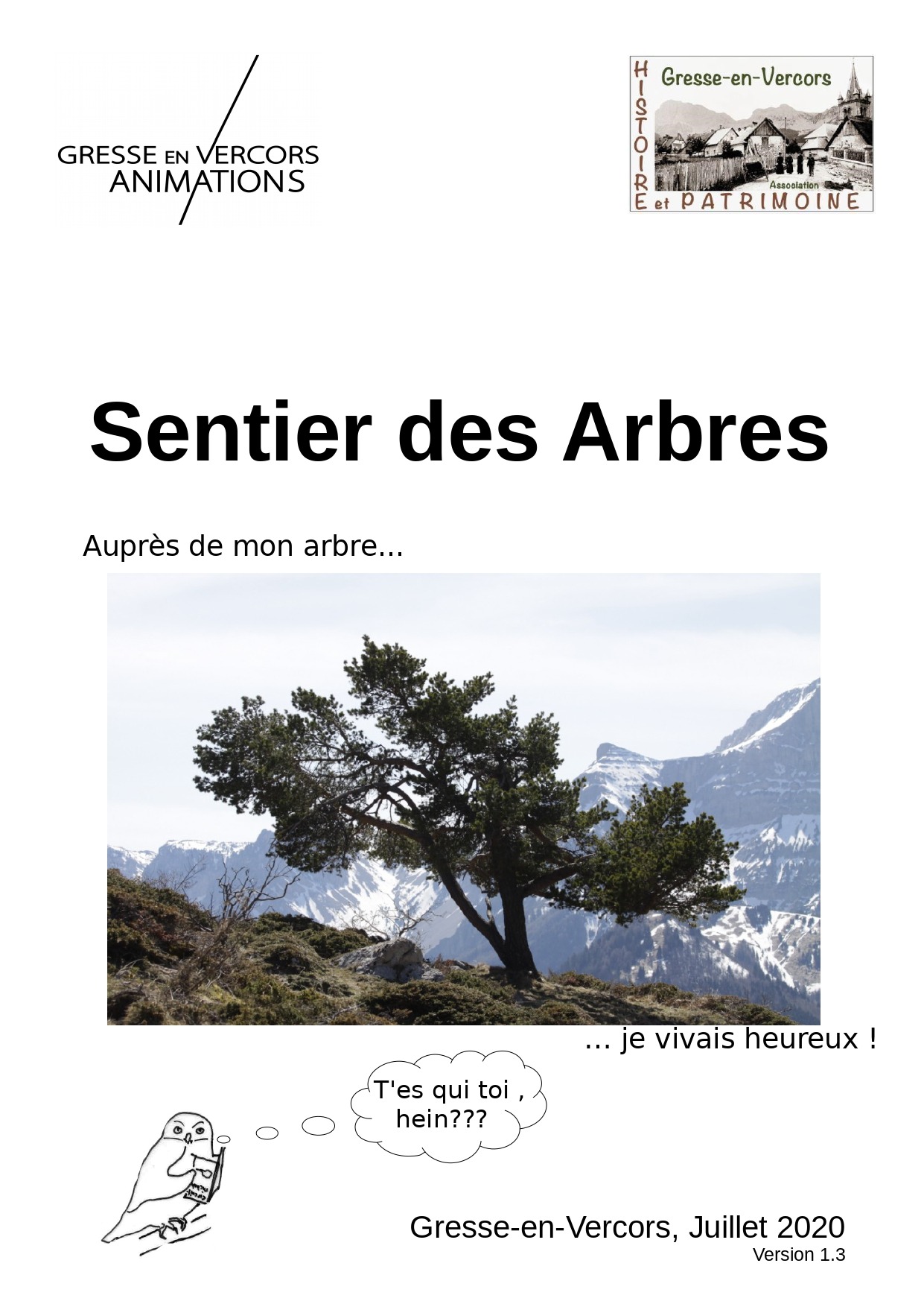
Discover the trees on a pleasant stroll. The "Gresse en Vercors, Histoire et Patrimoine" association has identified 18 trees, which are described in a booklet on sale for €2 at the Tourist Office.
Tree trail
Gresse-en-Vercors
Use your map to explore this lesser-known part of the Vercors Natural Park and discover the animals of Gresse-en-Vercors.
Children's orienteering course
Gresse-en-Vercors
Use your map to explore this lesser-known part of the Vercors Natural Park and discover the natural and cultural heritage of Gresse-en-Vercors.
Adult heritage orientation course
Gresse-en-Vercors