
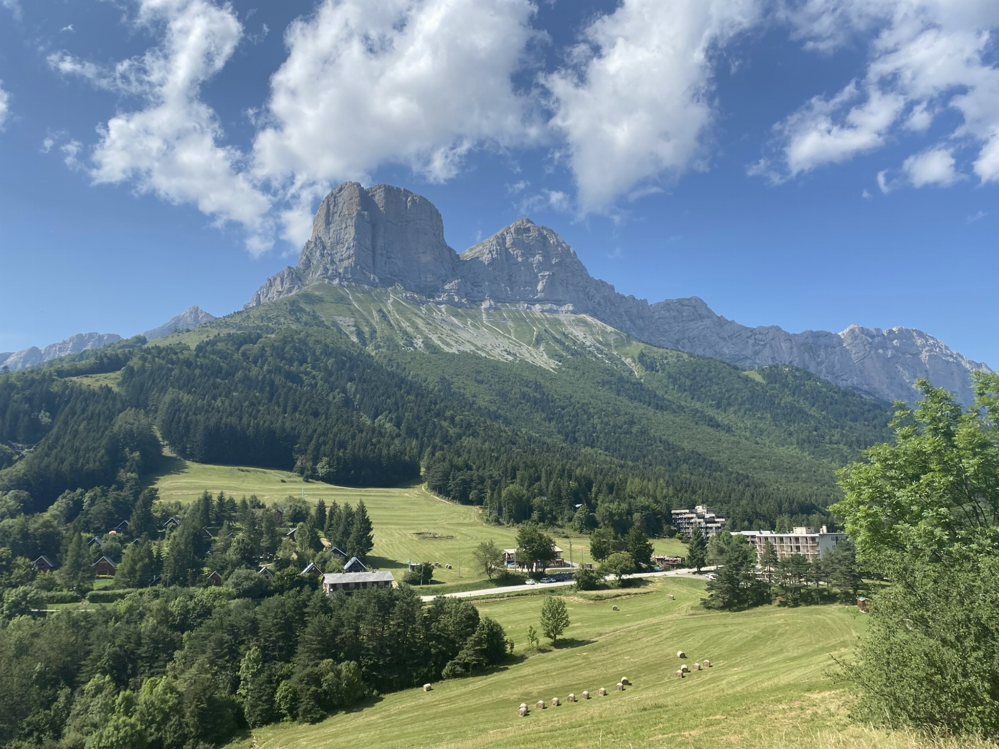
Introduction
Use your map to explore this little-known part of the Vercors Natural Park and discover Château-Bernard's natural and cultural heritage.
On each beacon, a clip allows you to punch the box corresponding to the beacon number. Once you've found the marker, the information will tell you what makes this place special.
Enjoy your discovery!
Pets welcome : yes
Further information on this Hiking Trail
12 balises à trouver
Tricky passes
Parcours comprenant des portions de fort dénivelé, notamment sur la fin du parcours entre les balises 6 et 12.
Hiking Topo Guides
Les cartes peuvent être récupérées gratuitement auprès du Point Information Tourisme (PIT) du col de l'Arzelier : Altebike
Other information
- It is the responsibility of all orienteers to assess their ability to practice orienteering in this area. - Check weather conditions before setting out. In the event of bad weather, postpone your outing. - Respect parking areas, private property and regulations. You are in the Parc Naturel Régional du Vercors, so please do all you can to help protect this area. - Pick up your garbage, don't leave anything on site. - Respect the flora and fauna, stay on the trails. - Don't cut across fields. - Share the natural space, be attentive to other users.
Opening Hours / Rates
Opening Hours
From 11/04 to 17/10 daily.
Rates
Free access.
Activity Providers
Local Services
Access
Location
Col de l'Arzelier
38650 Château-Bernard
Latitude : 44.990248
Longitude : 5.594503
Altitude : 850m