
Hike description
Type
Loop
Altitude
Max : 835m
The audience
- Cyclists
Introduction
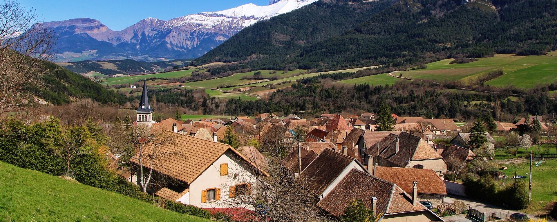
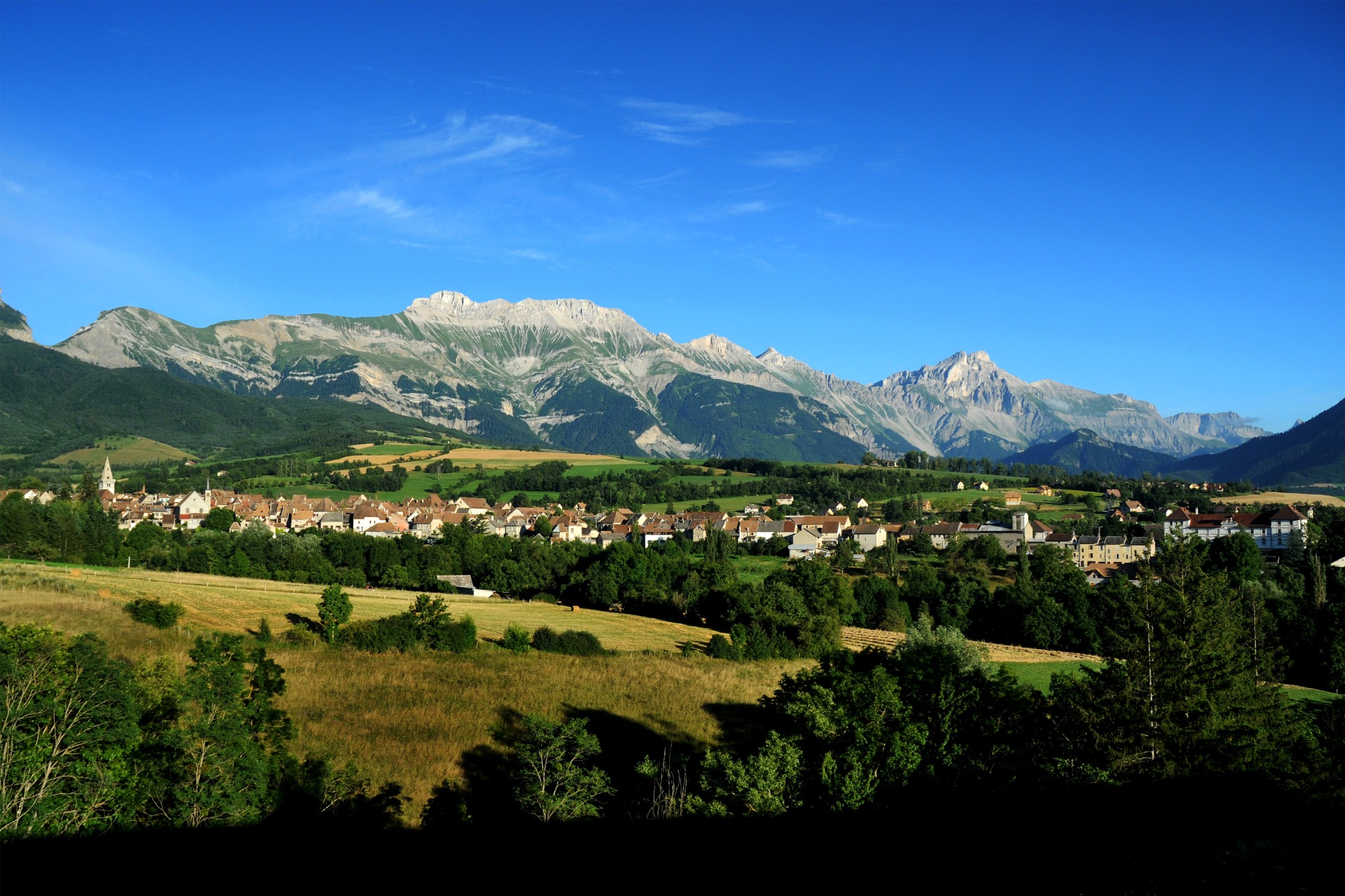
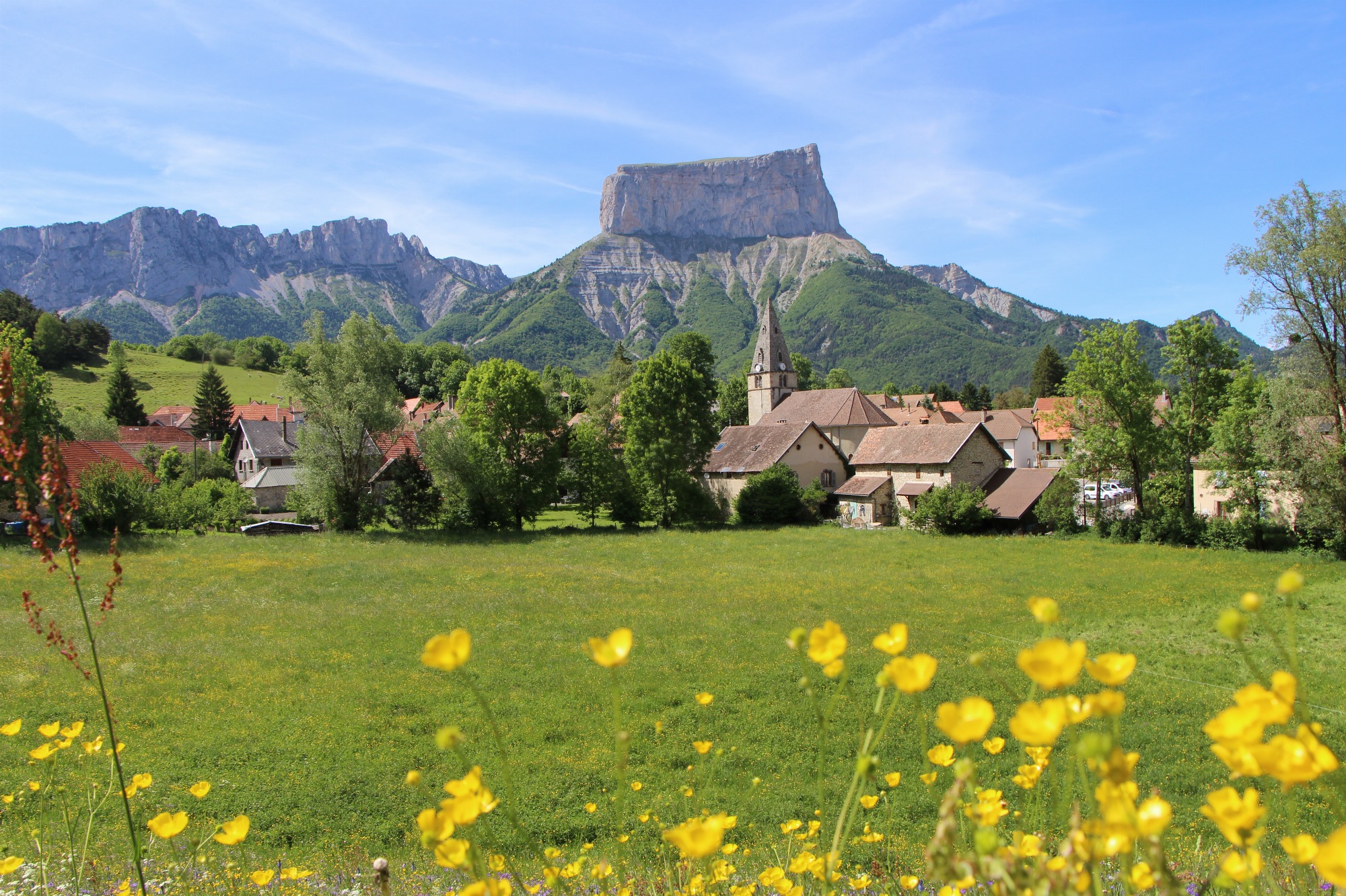
A beautiful loop in the heart of the Trièves, taking in small villages with magnificent views: Le Percy, Monestier-du-Percy and Prébois!
The main difficulty is the short climb between Sandon and Le Percy.
Pets welcome : no
Useful information
Facilities
Location
Office du Tourisme
Rue du Breuil
38710 Mens
T95 Grenoble - Mens line (Mens stop)
Latitude : 44.817209
Longitude : 5.751755
Altitude : 765m
A découvrir aussi
A sporty loop that links the Col de Menée and Col de Grimone climbs. The Col de Menée is signposted with kilometer markers. It's a great way to enjoy this Mediterranean climate!
Between Trièves and Diois - Cycling path n°8
Clelles
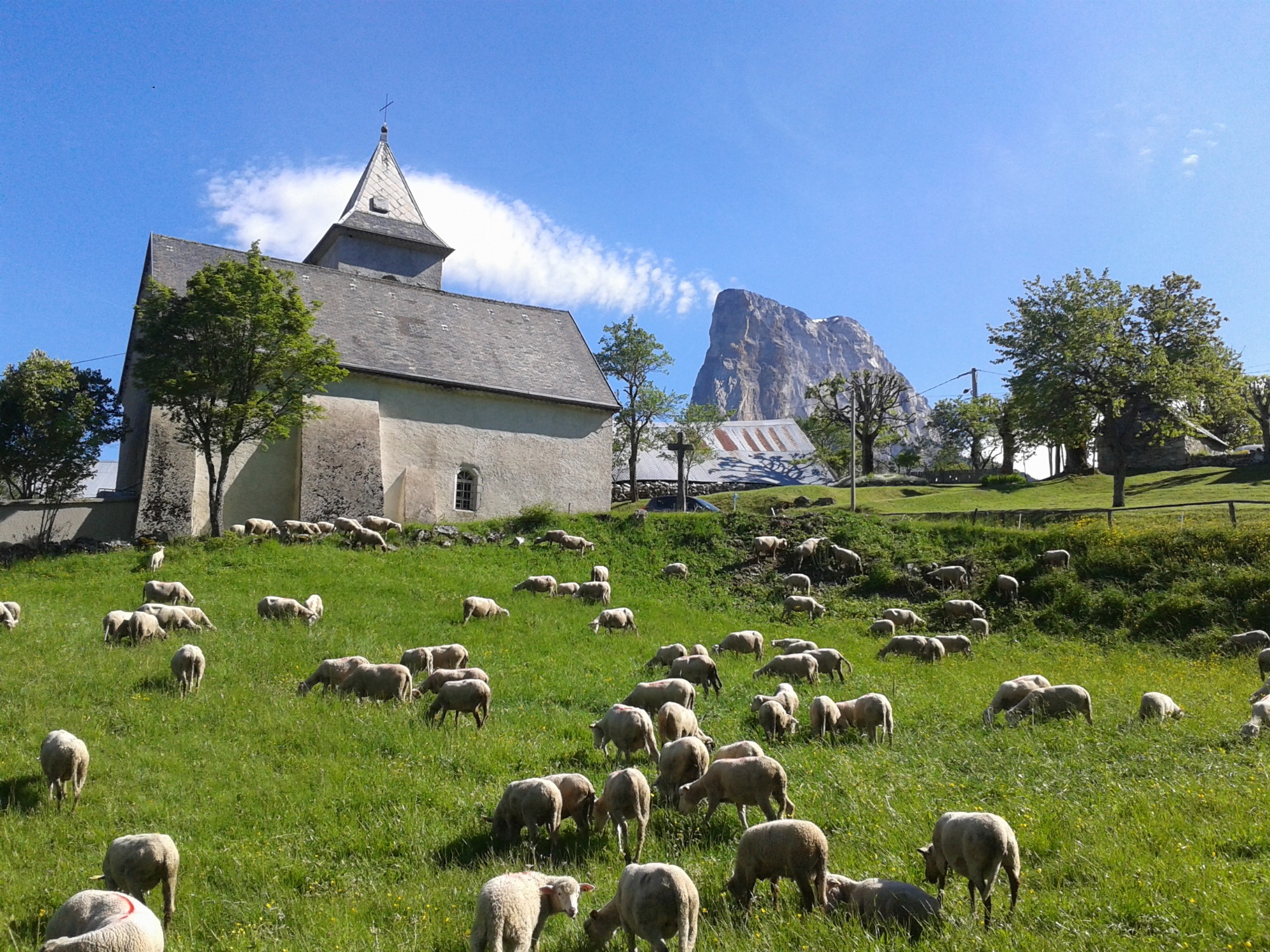
A beautiful loop that will allow you to tackle the Col de l'Allimas (1352m), the main difficulty of the route. The views of the cliffs on the eastern balcony of the Vercors are impressive, especially the view of Mont-Aiguille from the Col.
The East Vercors Balcony - Cycling path n°5
Monestier-de-Clermont
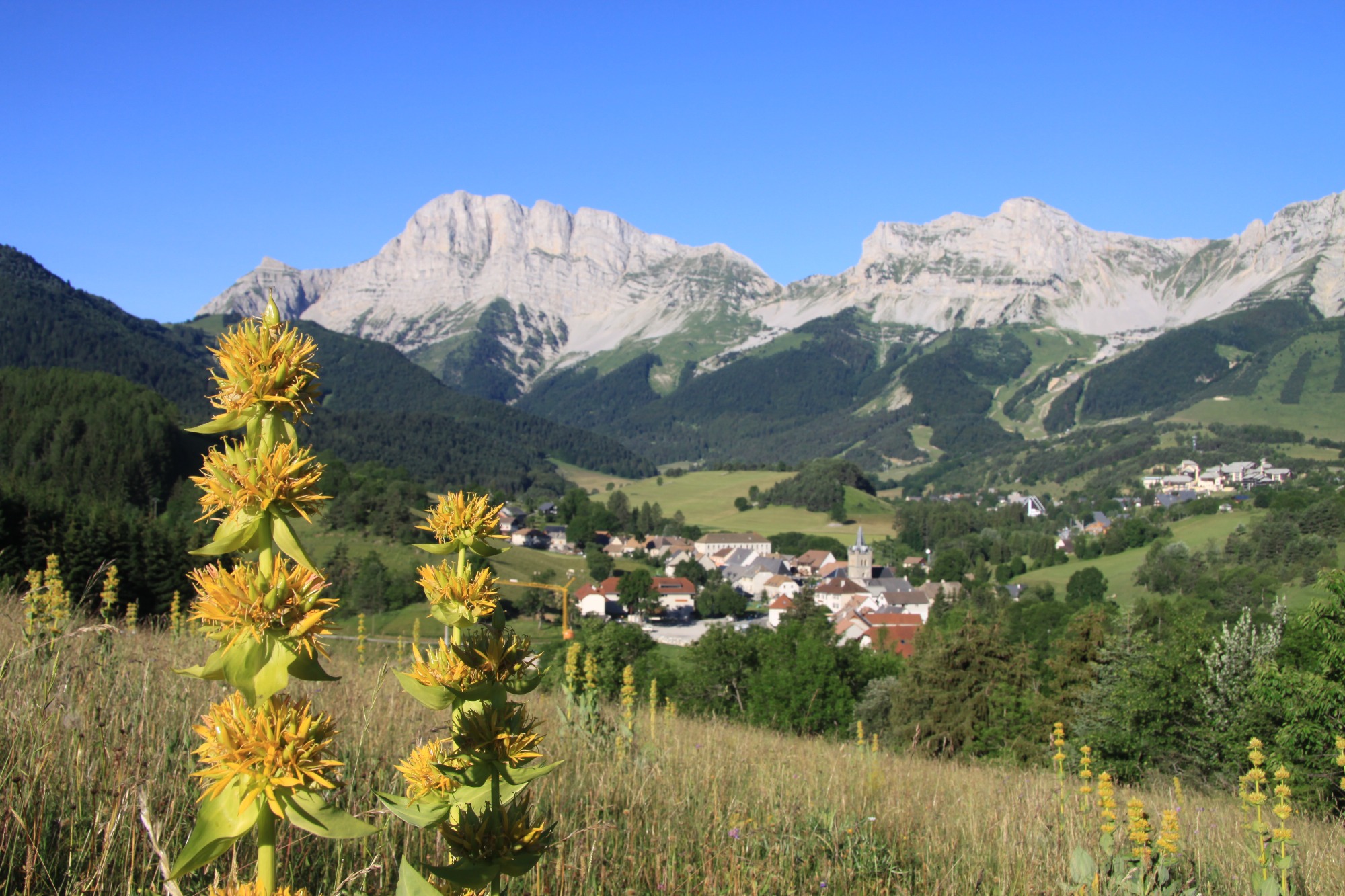
A magnificent itinerary that allows you to appreciate the rich landscapes of the Trièves, from the foothills of the Vercors massif to those of the Dévoluy massif! The program includes passes, picturesque villages, small undulating roads, panoramic views...
From the foothills of the Vercors to those of the Dévoluy - Cycling path n°9
Mens
