Hike description
Type
Signposted roundtrip
Altitude
Max : 2013m
The audience
- Walkers/hikers
Introduction
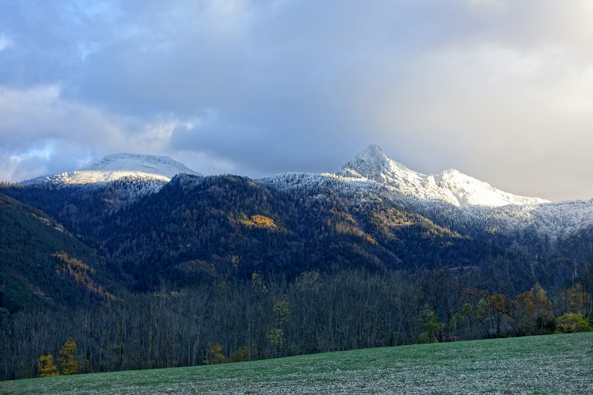
On the border between the Drôme and Isère departments, the Jocou summit offers a magnificent 360° view. The ascent on the Lalley side is through the grassy slopes of the alpine pasture, then along the Archat ridge.
A fairly strenuous and straightforward hike, the ascent of Le Jocou nevertheless rewards the courageous hiker with a superb panorama at the summit. In June, July and August, it's not uncommon to come across a flock of sheep accompanied by their shepherd grazing in the valley where the Jocou alpine ski resort once stood. The ski lift hut and some of the anchor points for the pylons can be found near the departure point.
Pets welcome : yes
Further detail on accompanying pets : Dogs must be kept on a leash due to the presence of herds.
Further information on this Hiking Trail
Yellow markings
Tricky passes
The route runs along several vertiginous ridges, and is therefore not recommended for children or people sensitive to vertigo. Not recommended in fog or wet weather, as steep slopes can be slippery.
Map reference
Carte "Promenades et randonnées en Vercors Trièves"
Other information
Adaptez votre équipement en fonction de votre niveau et de la météo. Restez sur les sentiers balisés. Merci de respecter les activités pastorales sur l'alpage (signalétique pastorale à l'entrée de l'alpage).
Useful information
Local Services
Access
Step by step
Departure : Drive to the Bergerie du Jocou parking lot, accessible by a small road from the top of the Col de Lus la Croix-Haute.
Start from the "Bergerie du Jocou" signpost.
1) Follow the signs for "Le vieux jas", taking the track which rises quickly into the pretty valley on the left, opposite the summit of Le Jocou.
2) From the "Le vieux jas" signpost, follow the signs for "Crête de l'archat" along a path that heads due north on the right. This path turns slightly to the left and then forks due north. Be sure to follow the stakes installed in the alpine pasture to follow the path. This route avoids the ewes' main stubble area and respects pastoral activities.
Continue climbing northwards almost to the ridge, then turn left towards the rocky bar. This is easily crossed by following the path.
3) Continue along the ridge (watch out for yellow markings). The difficulty is still high until you (finally) reach the "Crête de l'archat" signpost. Watch out for chamois on the slopes of the ravin de l'archat.
4) From the "Crête de l'archat" post, head due south along the ridge towards "Le Jocou" to reach the summit.
Return by the same route.
Location
Bergerie du Jocou
38930 Lalley
Bergerie du Jocou, accessible by car from the Col de Lus La Croix-Haute, signposted "Bergerie du Jocou".
Latitude : 44.730939
Longitude : 5.664465
Altitude : 1335m