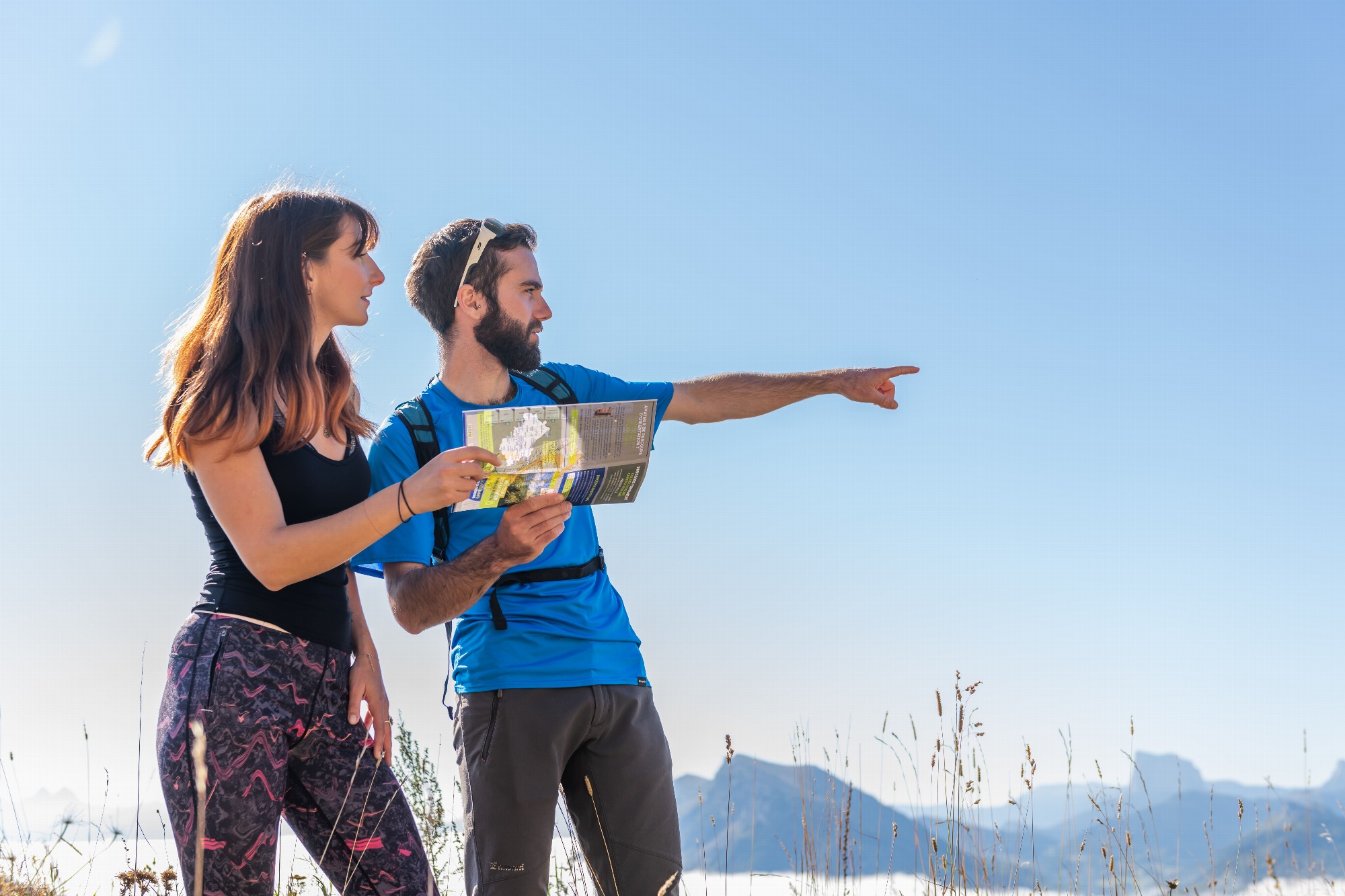
Hike description
Type
Signposted Loop
Altitude
Max : 925m
The audience
- Walkers/hikers
Introduction
A pleasant hike offering a lovely view of Monestier de Clermont before continuing on to Saint Paul Lès Monestier, with the cliffs of the eastern balcony of the Vercors, in particular the Deux-Soeurs, as a backdrop.
A short loop starting from the center of Monestier de Clermont, the hike passes close to the Chapelle de la Salette, built in 1862 (possibility of a return trip). The views are varied and pleasant!
Pets welcome : yes
Further information on this Hiking Trail
Marked with yellow lines (PR)
Map reference
Carte "Promenades et randonnées en Vercors Trièves"
Other information
Adaptez votre équipement en fonction de votre niveau et de la météo. Restez sur les sentiers balisés.
Useful information
Local Services
Facilities
Access
Step by step
Departure : Park in the Champ de Foire parking lot, in the center of Monestier de Clermont village, near the post office. A "Monestier de Clermont" signpost is located at the foot of the parking lot.
1) Go downhill, then turn left to reach the "Grand Pré" sign.
2) Turn right towards "Croix de la Salette", climbing the hill which becomes a track as you leave the housing estate.
3) At the "Croix de la Salette" post, you can make a round trip to the "Chapelle de la Salette". Head for "Croix de Gruère", cross the footbridge over the freeway and continue along the track to the left. The track joins a small tarmac road which you continue straight on to find the "Croix de Gruère" sign at the next junction.
4) Take the right-hand track towards "Les Vaches".
5) At the "Les Vaches" post, turn right again and follow the track down to the village of Saint Paul Lès Monestier ("La Croix" post, then "Saint Paul Lès Monestier" post).
6) Cross straight on towards "Le Moulin" (take care when crossing the RD8) and continue straight on between the houses. The tarmac road becomes a track which turns right between two hedges, then continues until it crosses a small footbridge over the Chabanat stream.
7) After crossing the footbridge, turn right and follow the track up to the "Le Moulin" sign. Then turn right towards "Le Stade" and follow the sports fields.
8) Go straight on towards "Combe du Mas" to reach the gendarmerie and cross the RD1075 (be careful). Go under the SNCF line to find the "Combe du Mas" sign.
9) Turn right and follow the railway line towards "Château de Bardonenche".
10) Turn right and pass under the railway line again, signposted "Monestier de Clermont". Turn left at the Château and join the town hall park, which you cross to get back to the starting point.
Location
Parking du champ de foire
38650 Monestier-de-Clermont
Park in the fairground parking lot. SNCF train station Line 63 Grenoble-Gap Bus T95 Grenoble-Mens (Mairie stop)
Latitude : 44.91596
Longitude : 5.633988
Altitude : 830m