
Hike description
Type
Signposted roundtrip
Altitude
Max : 1640m
The audience
- Walkers/hikers
Introduction
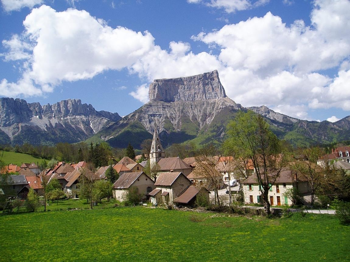
Set off on one of the Trièves' most emblematic hikes. The Pas de l'Aiguille will charm you not only with its splendid view of Mont Aiguille, but also with the history of the place, which was the scene of fighting during the Second World War.
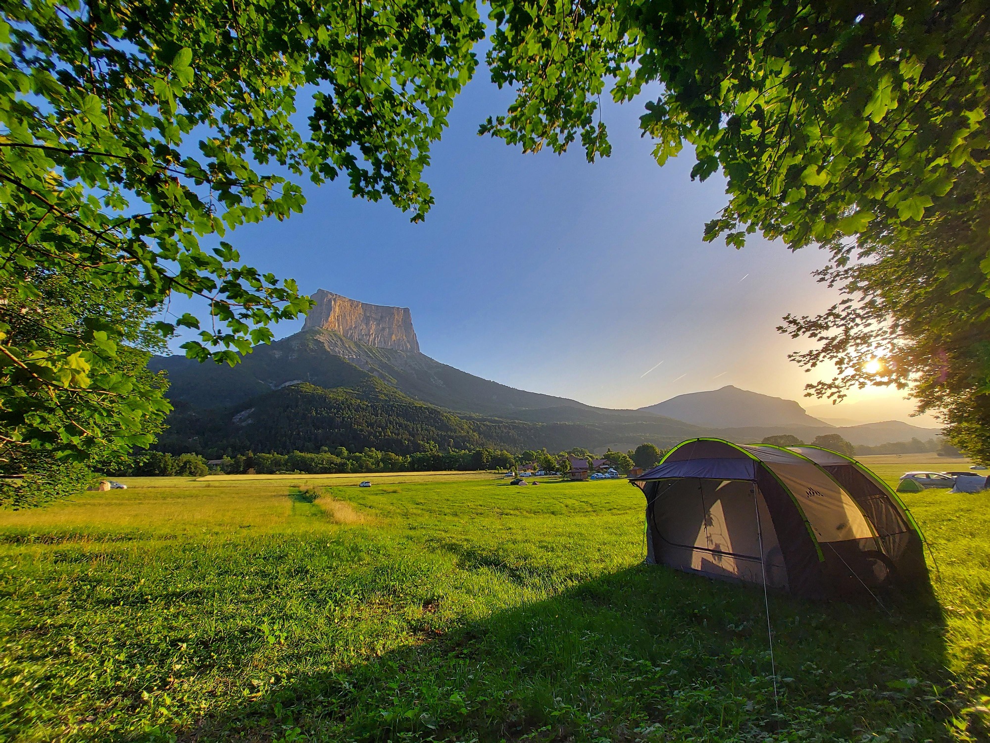
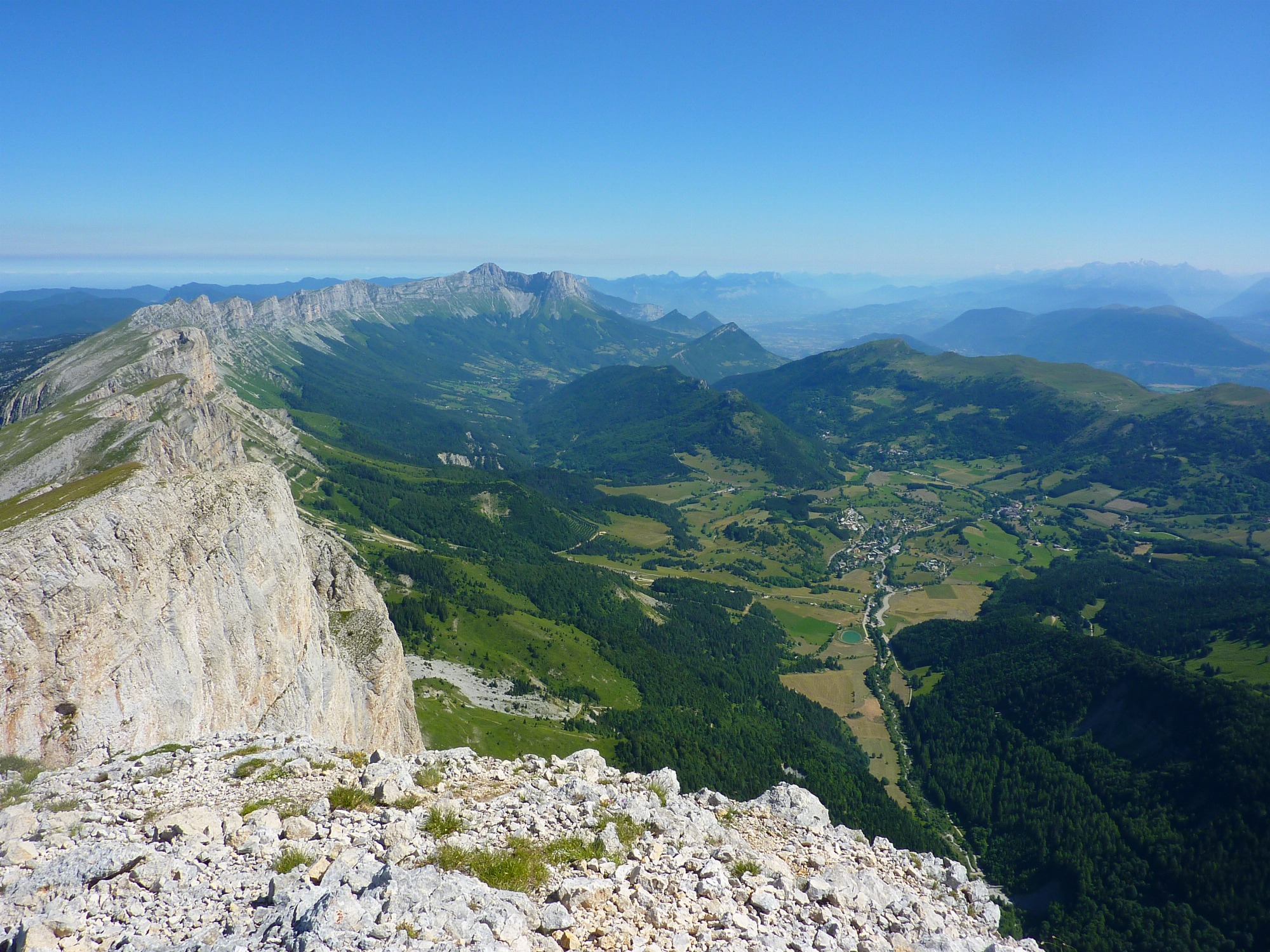
This rather strenuous hike will take you quickly up to the magnificent Vercors High Plateaux nature reserve and its wild atmosphere! The view of Mont Aiguille is splendid. Look out for marmots lurking in the mountain pastures! You may also be lucky enough to come across a few ibexes on the way up, as they weave around the cliffs like balancing acts.
Finally, once at the summit, you can discover the Nécropole Nationale du Pas de l'Aiguille, as well as the cave next to it, where Resistance fighters took refuge when attacked by German soldiers during the Second World War.
Pets welcome : no
Further detail on accompanying pets : The nature reserve does not tolerate dogs, even on a leash.
Further information on this Hiking Trail
Yellow and green line markings
Tricky passes
Gravel path, caution on the descent.
Map reference
Carte "Promenades et randonnées en Vercors Trièves"
Other information
Adaptez votre équipement en fonction de votre niveau et de la météo. Restez sur les sentiers balisés. Merci de respecter les activités pastorales sur l'alpage (signalétique pastorale à l'entrée de l'alpage) Passage dans la Réserve naturelle nationale du Vercors, merci de respecter le règlement en vigueur sur les panneaux d'entrée de la réserve.
Useful information
Facilities
Access
Step by step
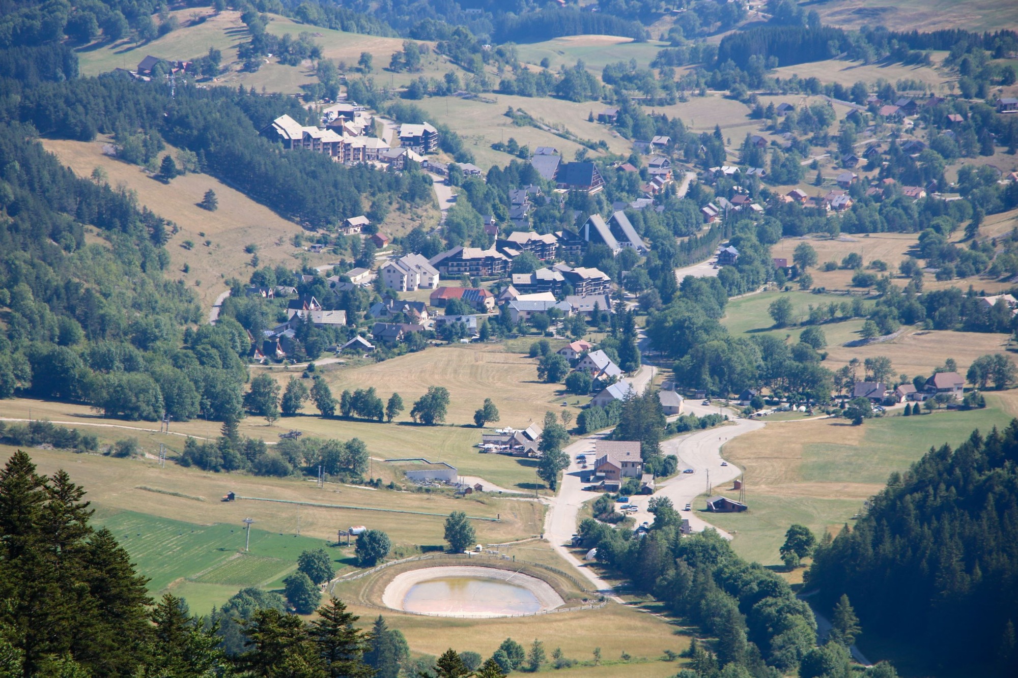
Departure: Park in the Richardière parking lot near the cross-country ski center.
Look for the "La Richardière" sign, then follow the signs for "Les Fourchaux". To do this, take a wide gravel track heading west. This long track, almost 2 kilometers long, will take you to Les Fourchaux.
1) From "Les Fourchaux", take the time to read the information next to the monument retracing the history of the Pas de l'aiguille, then the instructions for the Vercors High Plateaux National Nature Reserve. Behind you, the majestic Mont Aiguille rises to a height of over 2000 metres. Then head for the "Pas de l'Aiguille", deep in the forest. There's a steep climb ahead. Be sure to follow the yellow and green markings as they wind through the forest. You'll get some great views as you turn around, with Mont Aiguille accompanying you as you climb. When you come to the first cross, take time to observe the landscape and check for ibex on the cliff opposite.
2) Continue on the gravel path up to the next cross, where you'll have a splendid view and be able to see the parking lot below. It's just a short climb to the top. You arrive in a mountain pasture, with small hills and a monument. You're entering the Hauts-Plateaux du Vercors nature reserve. See the monument on the hill, then the cave on the north cliff. Then cross the mountain pasture to the Chaumailloux hut, where the view of Mont Aiguille is breathtaking. Take advantage of this view to take a break before heading back down.
3) To come back down, follow your route in the opposite direction. The descent can be slippery due to small stones, so be careful! Descend to "Les Fourchaux" and then to "La Richardière" to return to your car.
Location
La Richardière
38930 Chichilianne
Park at the salle hors sac de la Richardière, where there is a large parking lot.
Latitude : 44.822483
Longitude : 5.547469
Altitude : 1061m
A découvrir aussi
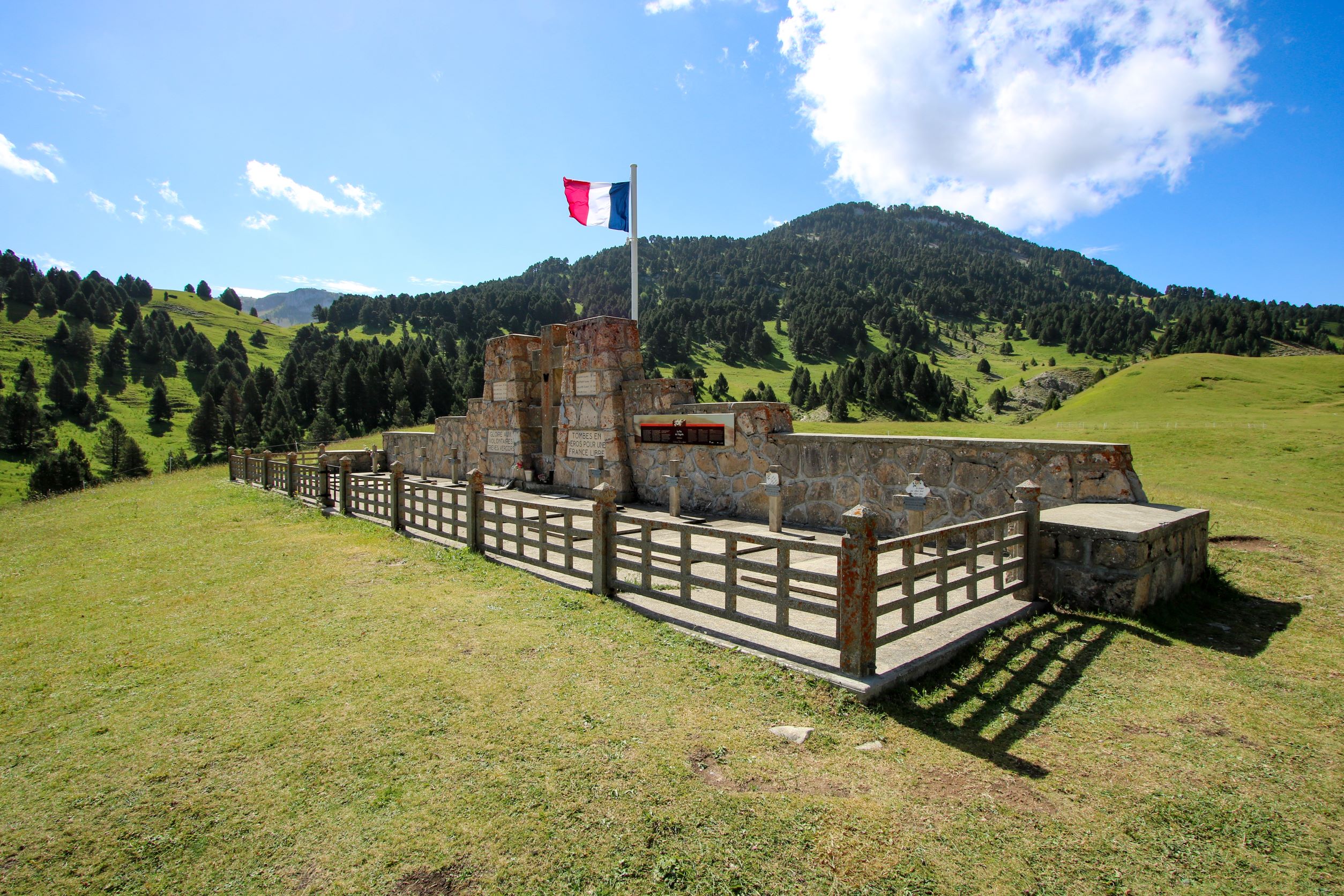
The Pas de l'Aiguille national necropolis is a place of remembrance for the Resistance in the Vercors massif.
Pas de l'Aiguille
Chichilianne
Start from the resort of Gresse-en-Vercors. This beautiful loop will allow you to discover the source of the famous stream that gave its name to the village, and to observe the Grand Veymont in all its forms.
Les sources de la Gresse
Gresse-en-Vercors

The anniversary of the Vercors battles commemorated in Ceremony at the Pas de l'Aiguille national necropolis and Les Fourchaux.
Sunday July 19, 2026
To be defined :
9am ceremony at Pas de l'Aiguille
11am ceremony at Les Fourchaux
Ceremony at Pas de L'Aiguille
Chichilianne
Our year-round campsite is 300 m from hiking and climbing trails (Mont-Aiguille, Pas de l'Aiguille...).
You'll enjoy shady pitches on the edge of the forest, with a breathtaking view of Mont-Aiguille!
La ferme du Pas de l'Aiguille - Camping
Chichilianne
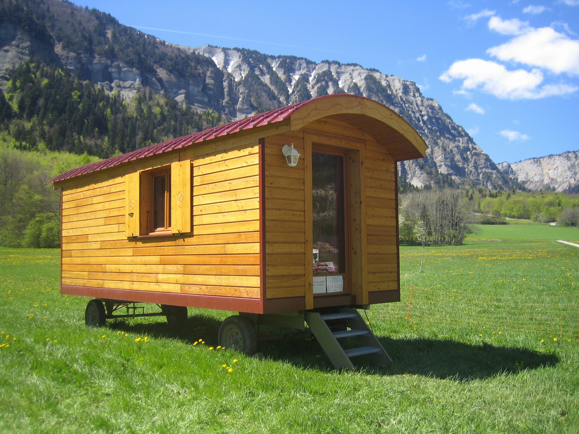
The charm and authenticity of a nomadic lodging experience, combined with the simplicity of a warm welcome in the heart of nature! We invite you to rent one of our three gypsy caravans in this exceptional setting for a night, a weekend, or a vacation.
La Ferme du Pas de l'Aiguille - Roulottes
Chichilianne
The highest point in the Vercors massif at 2341m, Grand-Veymont offers magnificent 360° views! It overlooks the village of Gresse en Vercors, Mont-Aiguille and the impressive cliffs of the Balcon Est du Vercors.
Grand-Veymont via Pas de la Ville
Gresse-en-Vercors
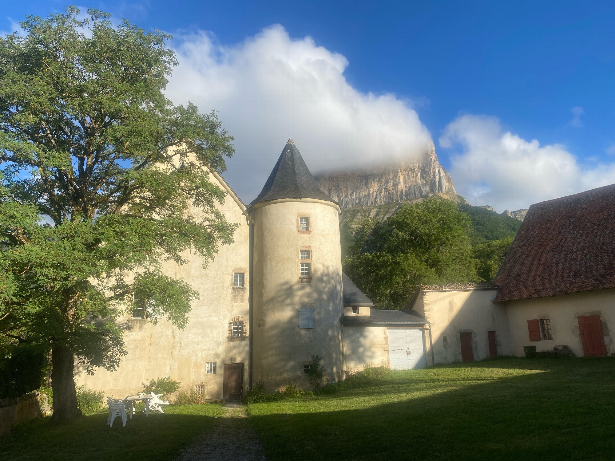
Château de Ruthière opposite Mont Aiguille offers a magical base for discovering our Trieves mountain nature.
Ideal for hikers, cyclists, horse riders, cross-country skiers, climbers, etc.
Chambre d'Hôtes : Château de Ruthière
Chichilianne
The Mairie is at the heart of the commune of Chichilianne in the Trièves, nestled at the foot of the iconic Mont Aiguille (one of the 7 wonders of the Dauphiné), in the Vercors Regional Nature Park and the Vercors High Plateaux National Nature Reserve.
Mairie de Chichilianne
Chichilianne
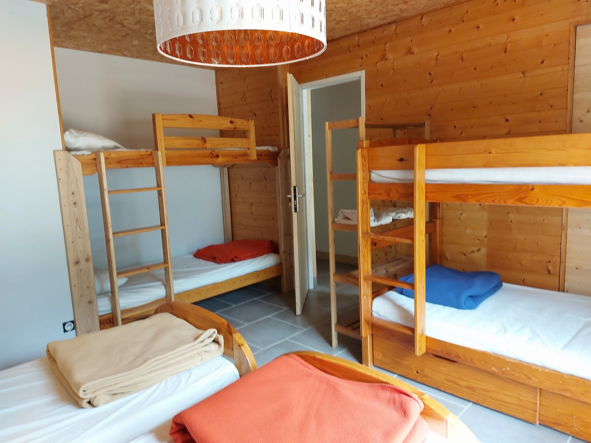
Private room for up to 6 people, for rent all year round. Ideal for families and friends to enjoy outdoor activities on a budget!
La Ferme du Pas de l'Aiguille - Chambre
Chichilianne