
Hike description
Type
Signposted Loop
Altitude
Max : 1583m
Introduction
Follow in the footsteps of the maquisards of Tréminis and learn about the day on October 19, 1943, when the maquis was attacked by the German army. A pleasant and interesting loop that will give you a new perspective on the Grand Ferrand.
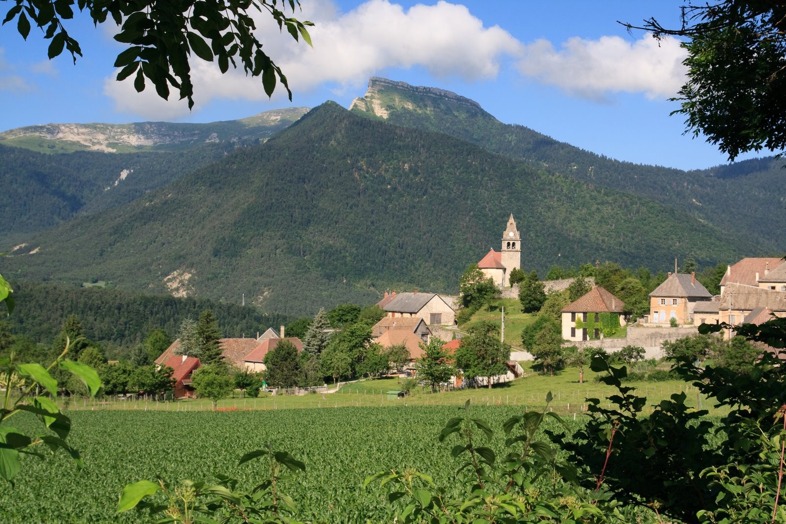
Come and enjoy this magnificent hike with its sumptuous views over the Dévoluy massif. This hike follows the painful story of the Tréminis maquis on October 19, 1943. To accompany your hike, you can buy the booklet available at tourist information points in the Trièves and at the Tréminis town hall.
Pets welcome : yes
Further detail on accompanying pets : Dog on leash only
Further information on this Hiking Trail
Yellow line markings (PR)
Tricky passes
Caution on the descent, potentially tricky sections in case of rain. Metal staircase with ten or so steps on the descent.
Map reference
Carte "Promenade et randonnée sur le Vercors Trièves"
Other information
Adaptez votre équipement en fonction de votre niveau et de la météo. Restez sur les sentiers balisés. Merci de respecter les activités pastorales sur l'alpage (signalétique pastorale à l'entrée de l'alpage)
Useful information
Local Services
Access
Step by step
Departure: From the "Parking du pique nique du Grand Ferrand" in the commune of Tréminis. You'll find a hut that will be the starting point for your hike. Park close to the hut and read the information panels. Then take the wide track up to the "Pique-Nique du Grand-Ferrand" sign.
1) A wide track turns into a path and takes you very quickly into a beautiful forest after crossing the stream on the left. The climb is quite steep! The path continues until you reach the end of the forest, where you'll come to the "Les Fontettes" signpost.
2) From the "Les Fontettes" post, turn right towards "Col de la Croix" on a wide track. Follow it to enter the mountain pasture enclosure. You'll soon come to the next post entitled "Fontaine des Boeufs". Continue in the direction of Col de la Croix, following the track. You'll then come to a building with a sheepfold, head south along the track and you'll come to the "Refuge de la Croix" post. Continue for a few hundred metres and you'll find the "Col de la Croix".
3) From the "Col de la Croix" sign, follow the resistance trail towards "L'Alpage de la Paille". Here you can enjoy a magnificent view of the surrounding peaks, especially the Dévoluy. The ascent on the trail is gradual until you reach the post
"Alpage de Paille" post.
4) From the "Alpage de Paille" signpost, follow the yellow signs for "Ancienne bergerie". The path descends slightly and leads to the former sheepfold, which was destroyed during the Second World War. At the "Ancienne bergerie" post, follow the signs for "Stèle Amigoni" downhill towards the forest to the north. The forest is rather thick and often damp. Be careful, especially near the small metal staircase.
The rest of the descent is a series of small bends.
5) From "Stèle Amigoni", head downhill towards "Girardère". At the bottom of the descent, cross a small stream.
6) At the "Girardère" signpost, you're back on the track. Turn right in the direction of "Pique-Nique du Grand-Ferrand" to return to your starting point.
Location
Parking du pique nique du Grand Ferrand
38710 Tréminis
Latitude : 44.714814
Longitude : 5.76754
Altitude : 1027m
A découvrir aussi

A "Call of Nature" puzzle walk in Tréminis - discover the games of the Trièves and ideas for activities to do with children!
Les Jeux du Trièves: The Call of Nature at Tréminis
Tréminis
At the Tréminis postal agency, you'll find brochures on the Trièves and information on Tréminis and the surrounding area.
Point d'information touristique de Tréminis
Tréminis