Distance
35.7km
Elevation
854m
Duration
2h
Difficulty Level
Very difficult
Hike description
Type
Loop
Altitude
Max : 1353m
The audience
- Cyclists
Introduction
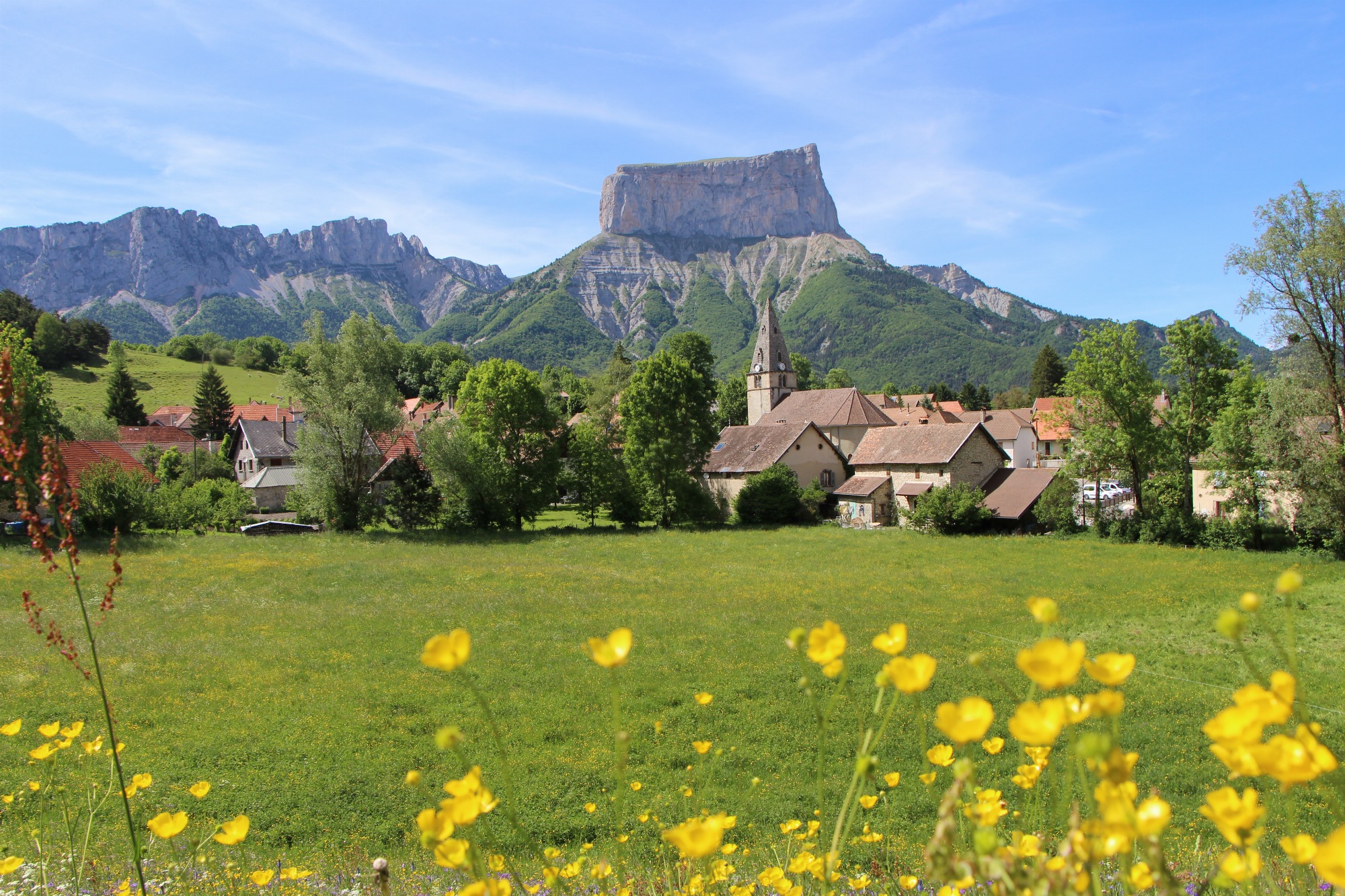
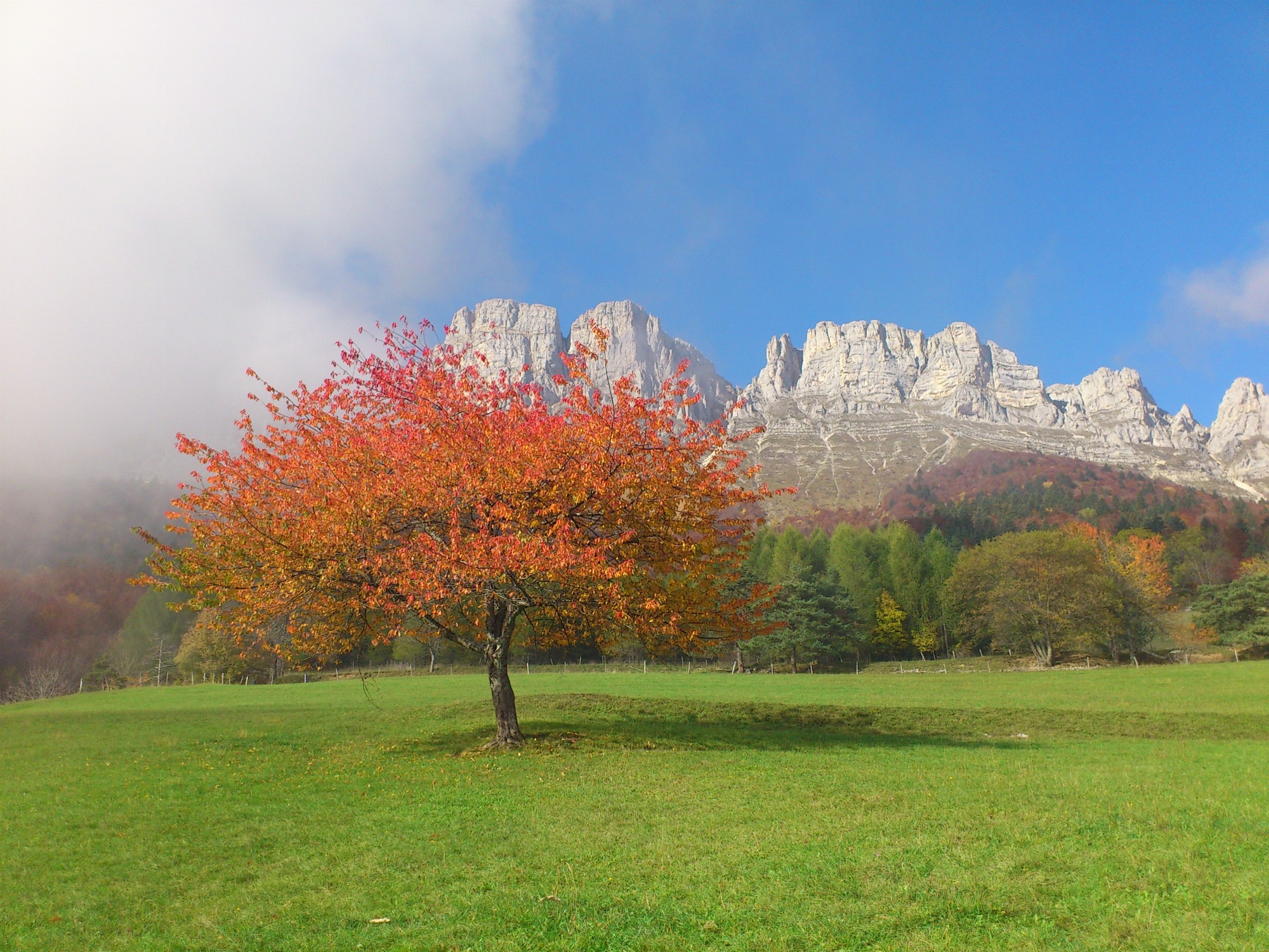
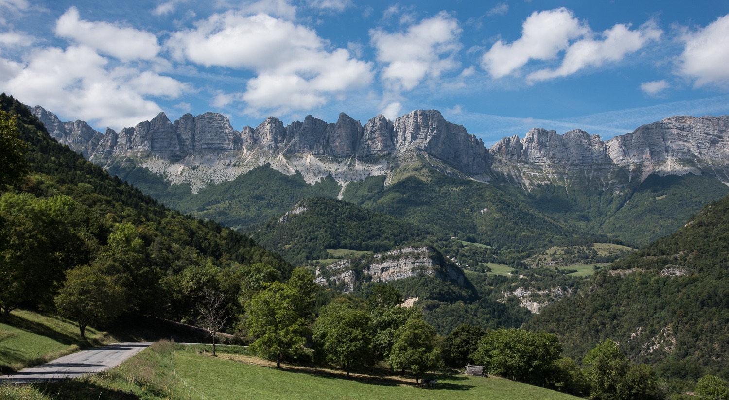
A beautiful loop that will allow you to tackle the Col de l'Allimas (1352m), the main difficulty of the route. The views of the cliffs on the eastern balcony of the Vercors are impressive, especially the view of Mont-Aiguille from the Col.
Pets welcome : no
Tricky passes
At the end of the route, take the busy RD1075 for 200 m before turning right towards Roissard. Stay alert!
Useful information
Facilities
Location
Place du champ de foire
38650 Monestier-de-Clermont
SNCF Line 63 GRENOBLE-VEYNES-GAP (Monestier station)
Latitude : 44.915616
Longitude : 5.633816
Altitude : 817m


