Distance
48.2km
Elevation
1168m
Duration
2h45
Difficulty Level
Difficult
Hike description
Type
Loop
Altitude
Max : 1156m
The audience
- Cyclists
Introduction
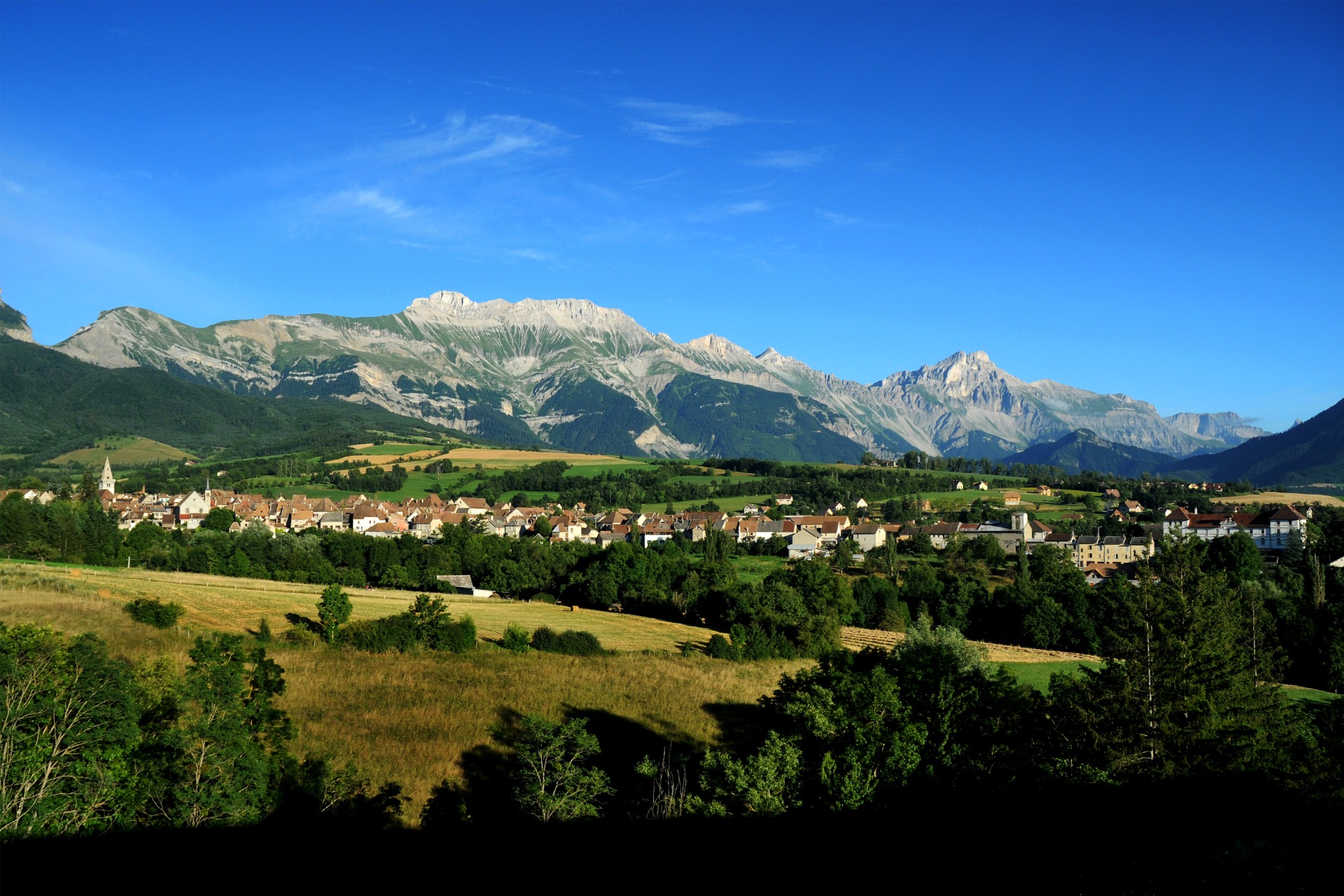
Covering the roads of the northern Trièves region, this
loop takes you on either side of the Gresse river.
the Gresse river. Your calves are in for a real treat with the ascent of the Col de l'Arzelier from the Saillants du Gua!
Pets welcome : no
Tricky passes
Follow the RD1075 with heavy traffic for 2km before turning left towards "Les Benais". Take care!
Useful information
Facilities
Location
Place du champ de foire
38650 Monestier-de-Clermont
SNCF Line 63 GRENOBLE-VEYNES-GAP (Monestier station)
Latitude : 44.915689
Longitude : 5.633833
Altitude : 835m


