Distance
53.3km
Elevation
906m
Duration
2h45
Difficulty Level
Difficult
Hike description
Type
Loop
Altitude
Max : 1115m
The audience
- Cyclists
Introduction
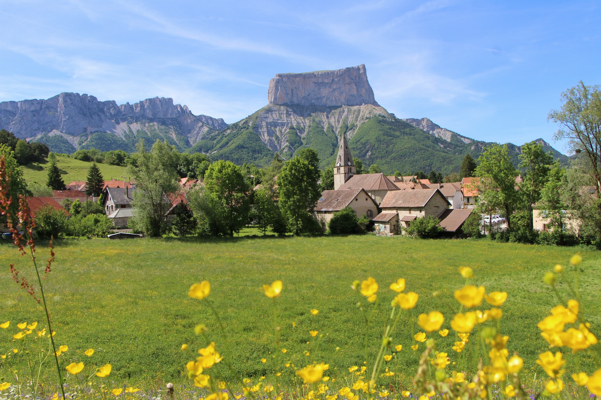
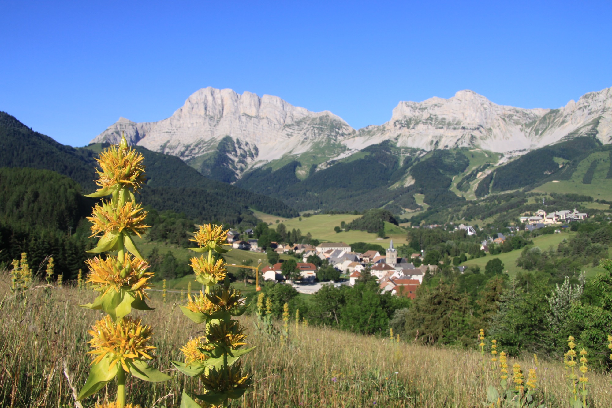
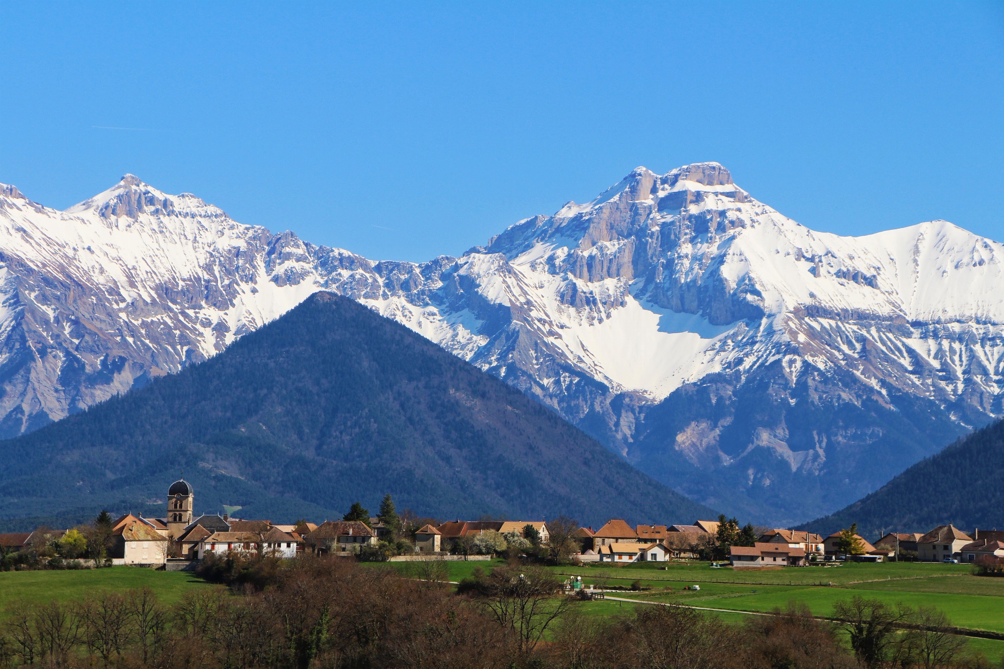
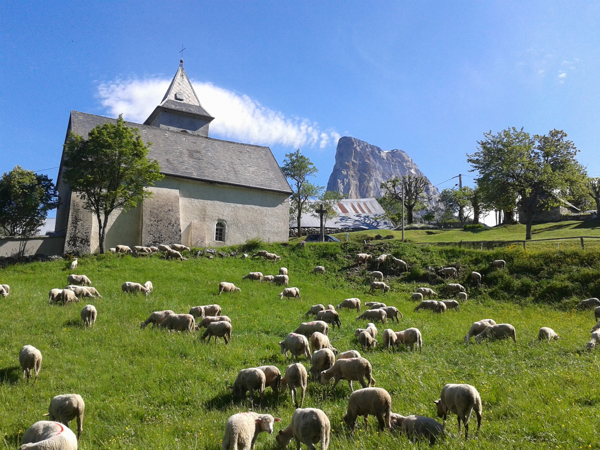
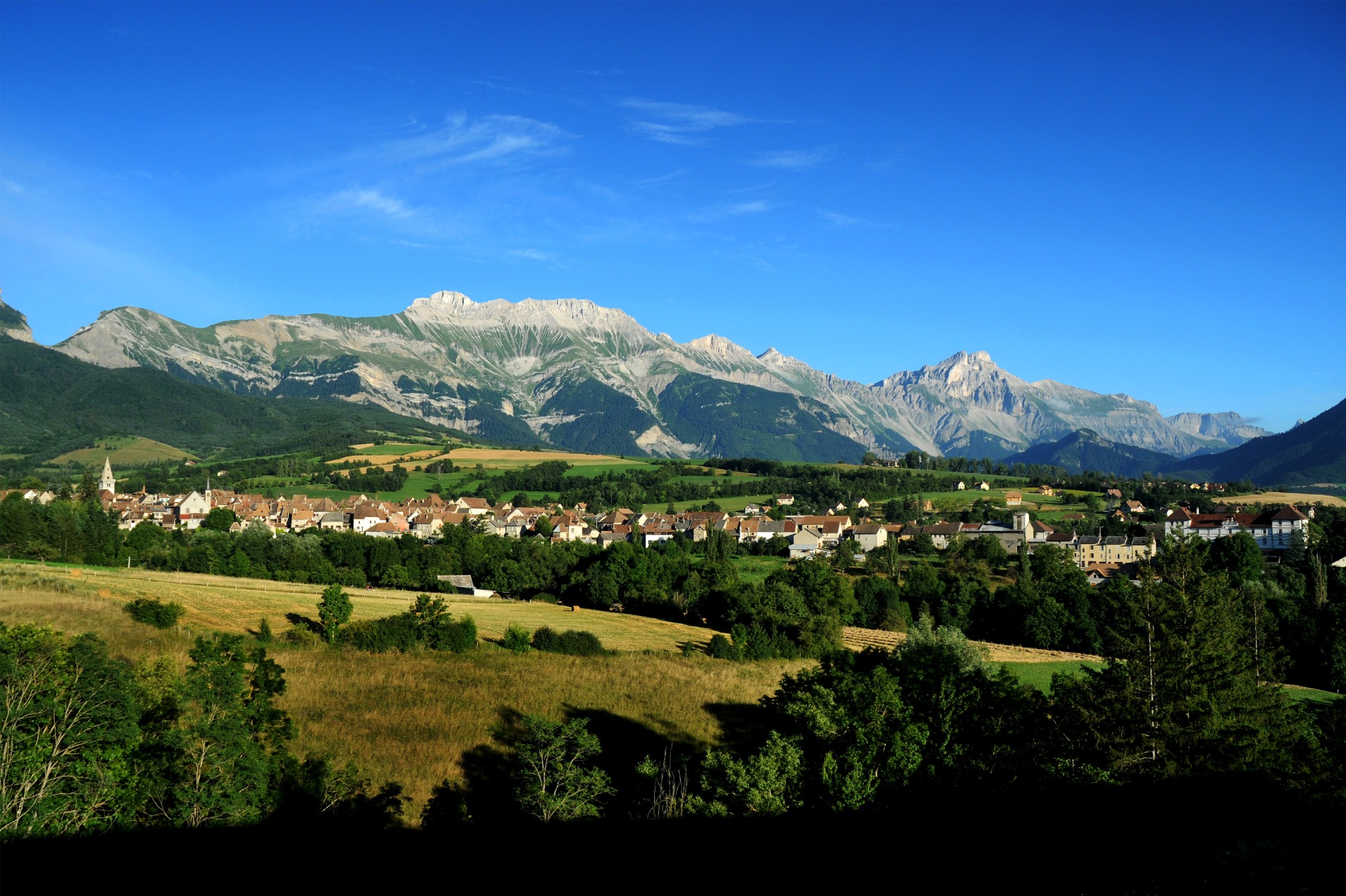
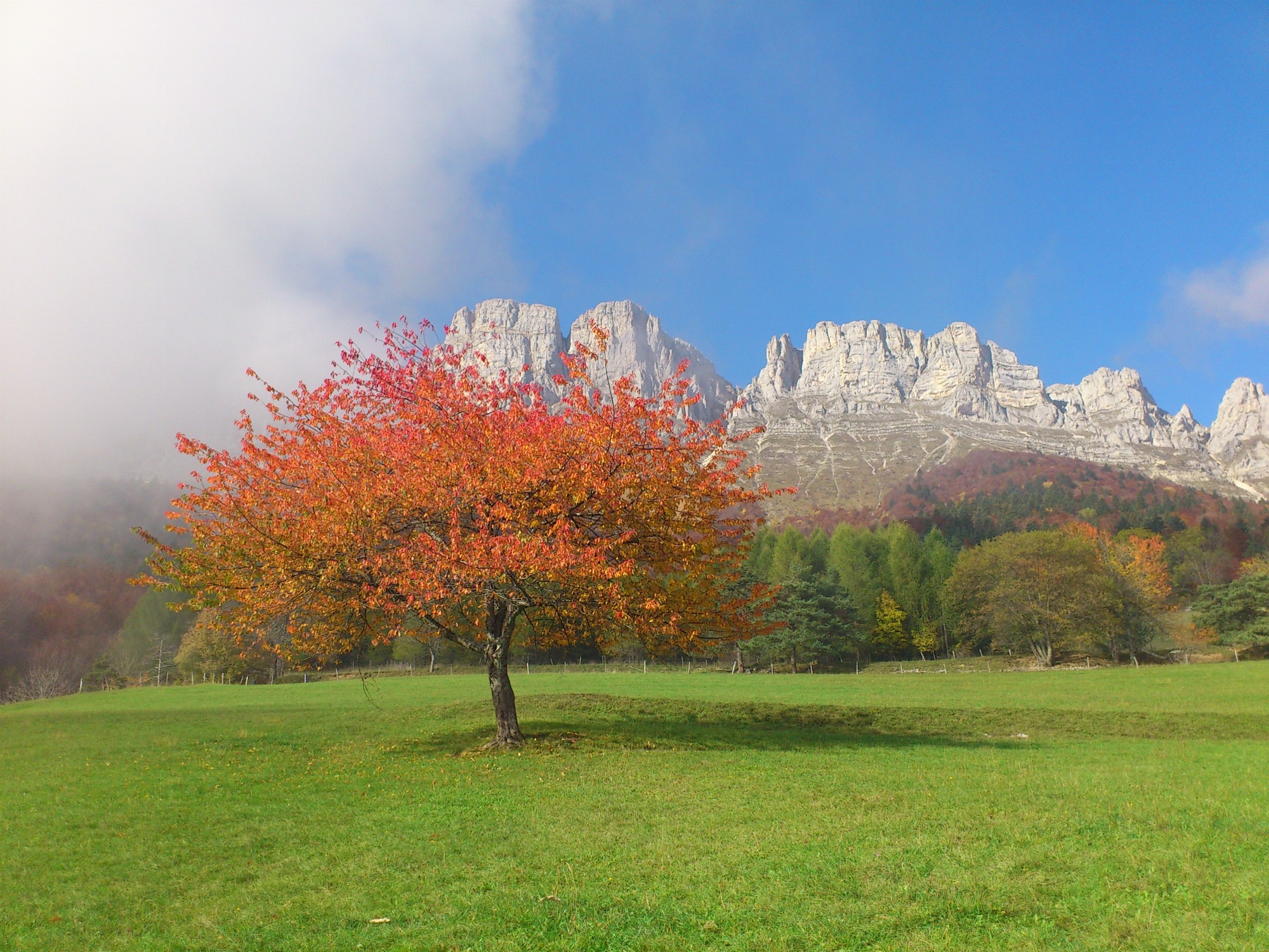
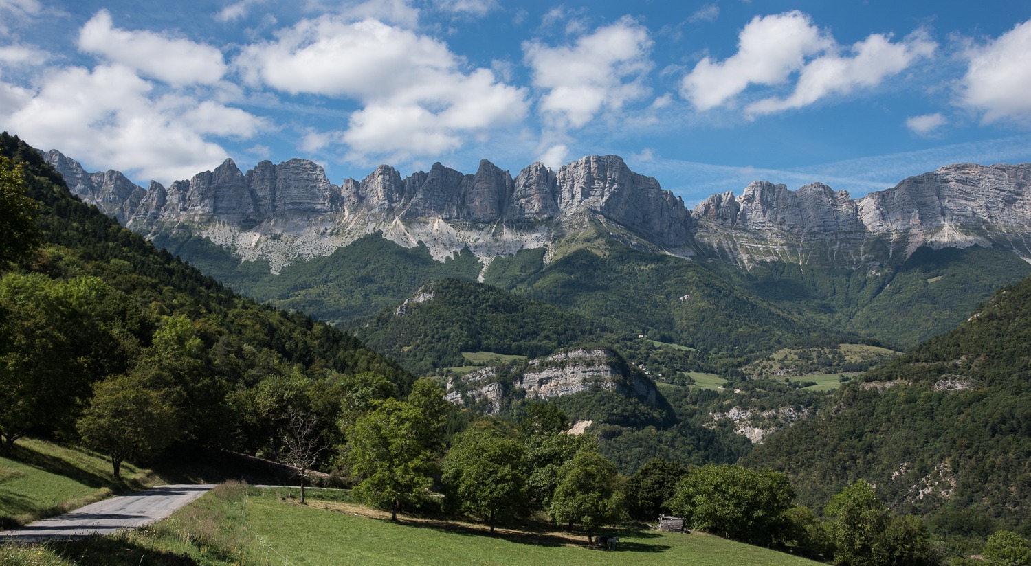
A pleasant, varied route through the back roads of the Trièves, taking in the scenery on both the Vercors and Dévoluy sides of the region, and admiring two emblematic peaks: Obiou and Mont Aiguille!
Pets welcome : no
Tricky passes
At the start of the route, you take the RD1075 with heavy traffic for 300m before turning left towards Longefonds. Please take care!
Location
Place de la mairie
38930 Clelles
SNCF Line 63 GRENOBLE-VEYNES-GAP (Clelles-Mens station)
Latitude : 44.827276
Longitude : 5.622635
Altitude : 768m


