Distance
3km
Elevation
125m
Duration
45min
Hike description
Type
Signposted Loop
Introduction
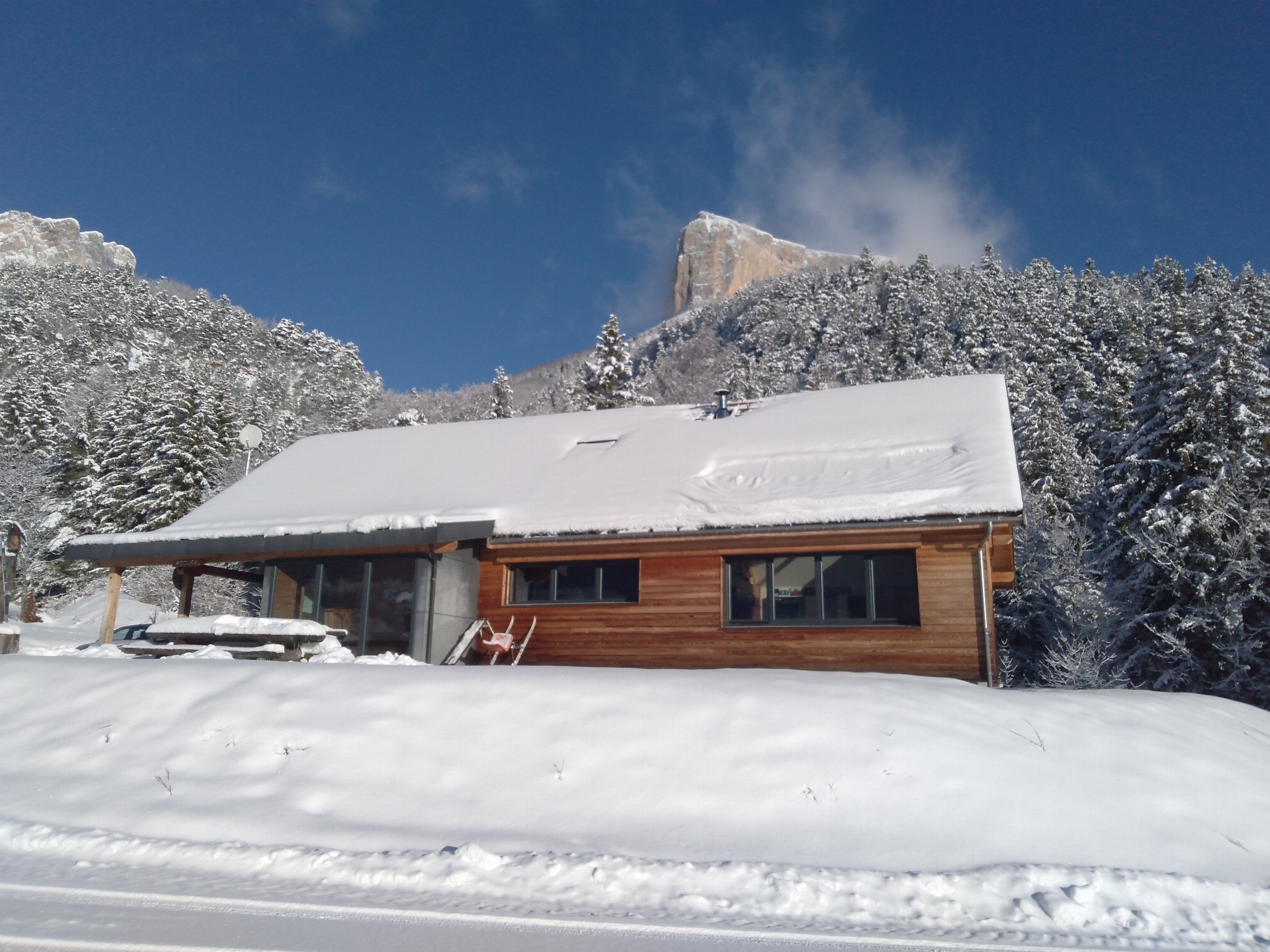
A looping route starting from the village of Chichilianne, which allows you to take in the views of Mont-Aiguille and Platary.
Further information on this Hiking Trail
Purple beacons N°4 blue
Hiking Topo Guides
Plan des itinéraires raquettes de Chichilianne
Useful information
Facilities
Location
Le Village
38930 Chichilianne
Departure from the information point parking lot in the village
Latitude : 44.811041
Longitude : 5.573327