
Hike description
Type
Signposted Loop
Introduction
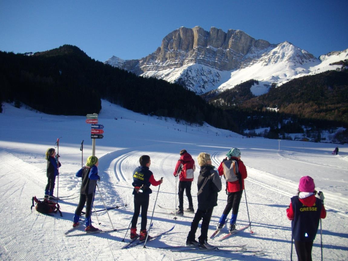
After climbing the Germaigne ridge, you can stop at the Olagnière picnic tables above marker I. The return journey descends into the valley before climbing back up through the Serre Chaud wood, a haven for wild animals!
Further information on this Hiking Trail
Purple beacons N°5 blue
Hiking Topo Guides
Plan des itinéraires raquettes de Gresse en Vercors
Other information
Toilettes publiques à la station de Gresse en Vercors.
Useful information
Facilities
Location
les Dolomites
38650 Gresse-en-Vercors
Departure from the Dolomites parking lot
Latitude : 44.902616
Longitude : 5.556265
A découvrir aussi
Home for Nordic disciplines: cross-country skiing, skating, snowshoeing.
Organization of sporting events and discovery days for the whole family.
School, club and biathlon outings.
Equipment rental and royalty sales.
Le Foyer
Gresse-en-Vercors
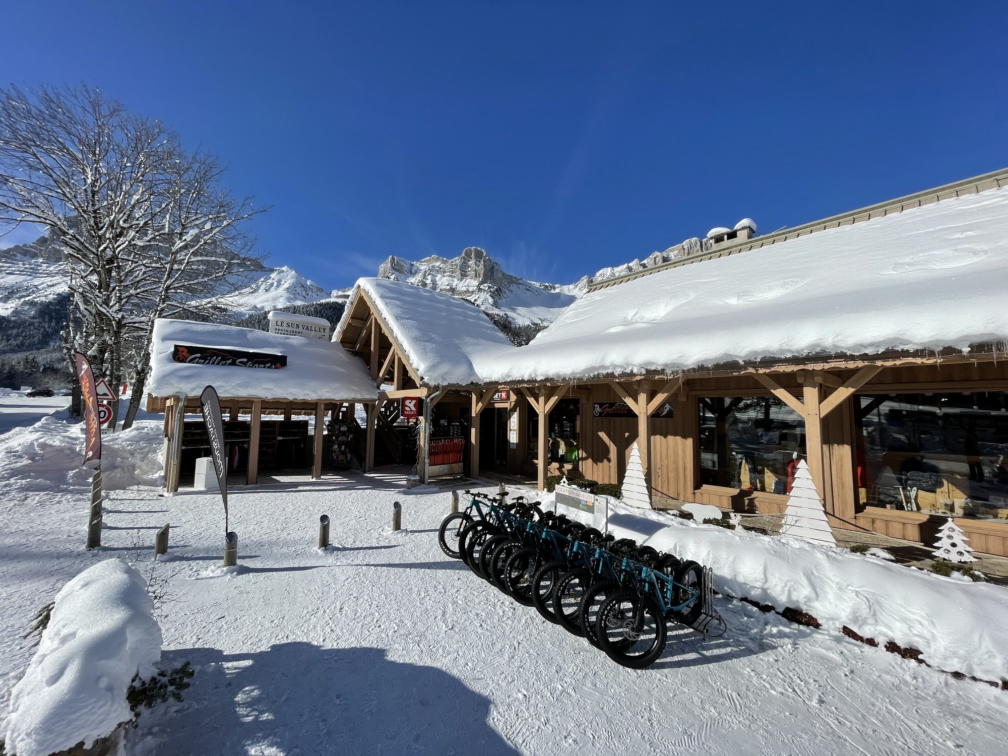
Sports store at the foot of the slopes. Sports & sportswear store, gifts & souvenirs area. 4-season equipment rental: winter (skis, sledges,.), summer (bikes, tandem,.). Bike sales and repair workshop, bike outings supervised by our MCF instructor.
Magasin Grillet Sports
Gresse-en-Vercors