
Introduction
In the forest or the snow-covered meadows, at the foot of Mont Aiguille or on the Hauts Plateaux (without marked itineraries on the national nature reserve) discover the Chichilianne/ snowshoe itineraries.
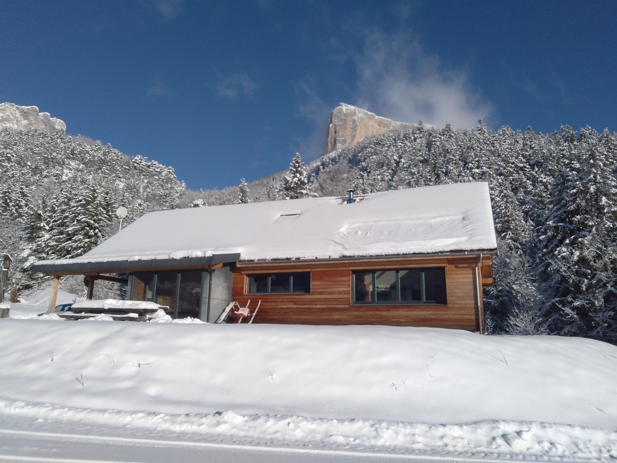
Starting point: cross-country ski hostel (Richardière hamlet) or church square in the village.
Departure altitude: 1000 m
Finish altitude: 1250 m
Map reference: Chichilianne snowshoe topo, PNRVercors Vercors-Trièves guidebook.
Signposts, poles, paint markers
Location
La Richardière
38930 Chichilianne
Latitude : 44.822712
Longitude : 5.54728
Altitude : 994m
A découvrir aussi
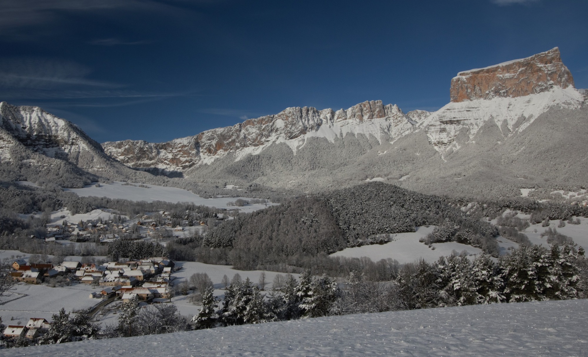
Beneath the escarpments of Mont Aiguille and the cliffs of the Hauts-Plateaux, in the forest or on snow-covered meadows, the Chichilianne Nordic ski area is suitable for all levels of skier.
Domaine Nordique de Chichilianne Mont-Aiguille
Chichilianne
Discover the cross-country trails and snowshoe itineraries of Chichilianne, try your hand at biathlon, at the foot of Mont Aiguille and the cliffs of the Hauts Plateaux du Vercors, in Trièves-Vercors.
Foyer nordique de Chichilianne
Chichilianne