
Hike description
Type
Trekking Trails
Altitude
Max : 1240m
The audience
- Walkers/hikers
- Pilgrims
Introduction
"Sur les Pas des Huguenots" (In the footsteps of the Huguenots) is a European cooperation project involving the creation of an international hiking trail following the historical route of the exile of the Huguenots* from the Dauphiné. Stage description from Saint Jean d'Hérans to La Mure
When the Edict of Nantes was revoked by Louis XIV in the 17th century, imposing a return to "the true religion", a period of exodus began for the Protestant population. "Sur les Pas des Huguenots" is a European cooperation project involving the creation of an international long-distance hiking trail following the historical route of the exile of the Huguenots* from the Dauphiné.
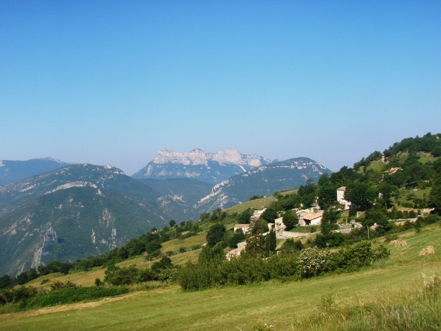
The stage described here links Saint Jean d'Hérans to La Mure, through the magnificent landscapes of the Trièves.
From 5 years old
Pets welcome : yes
Further detail on accompanying pets : Tenus en laisse.
Further information on this Hiking Trail
GR (red and white)
Map reference
IGN 3237OTR
Hiking Topo Guides
https://www.surlespasdeshuguenots.eu/carte-internationale-sphv-2023.jpg
Useful information
Local Services
Step by step
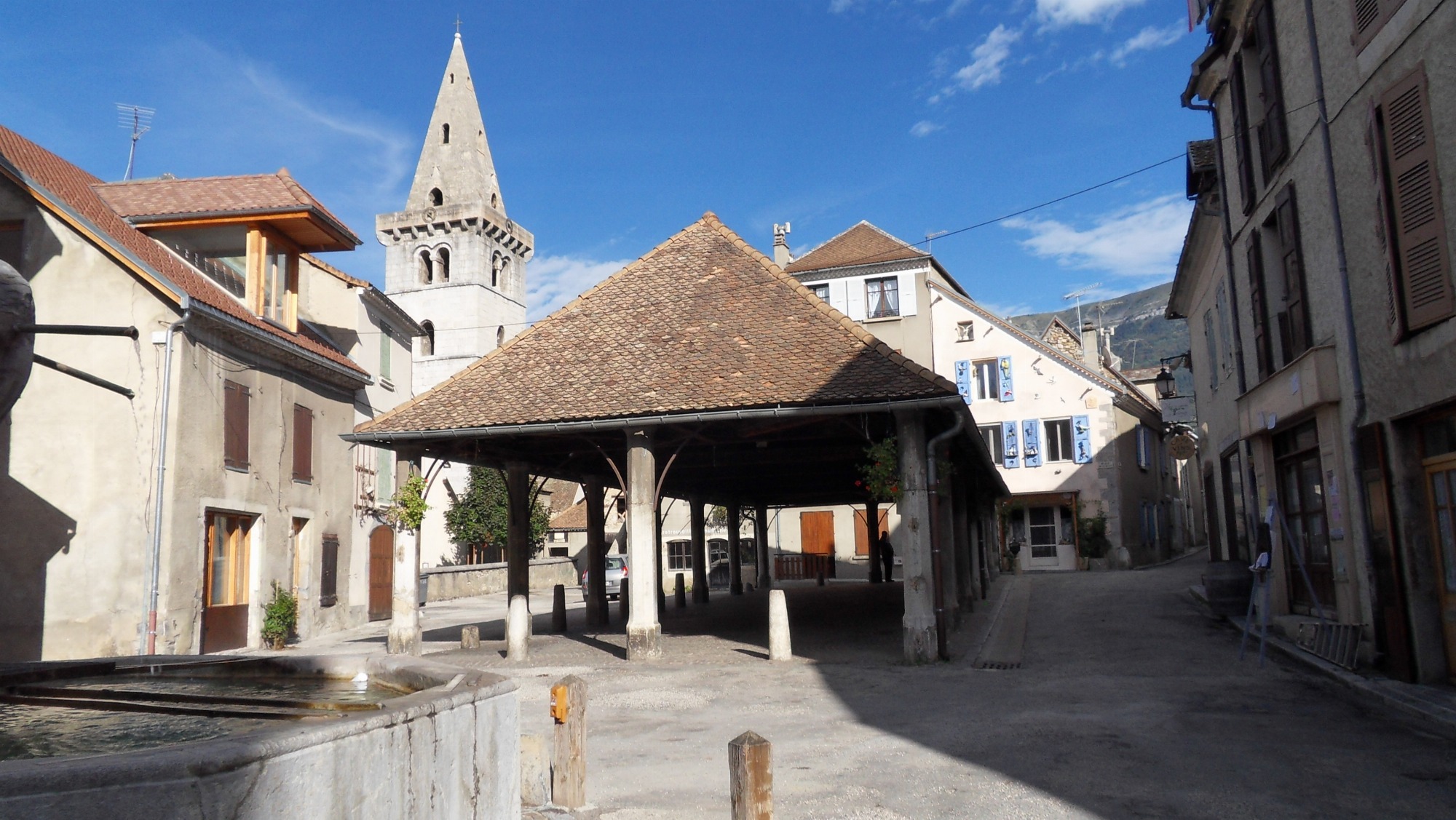
In the village of Saint-Jean-d'Hérans, at the two stop signs next to the town hall, take the small lane leading to the church.
1 - Go around the church, leaving the downhill road on your left, and continue along the road behind the cemetery to the next intersection.
2 - At the crossroads, turn left onto the track leading downhill towards "Les Rives", "La Mure". Follow the more downhill path until you reach the D168.
3 - Cross the main road to reach the hamlet of "Les Rives". Take the second right to rejoin the main road. Follow it to the right, towards La Mure.
4 - At the hamlet of "La Loubière", turn right. Go down the road and turn right at the crossroads (power station on the right).
5 - Cross the Roman bridge (Pont de Cognet) over the Gorges du Drac. The road climbs gradually.
6 - At the "Combe des Sables" sign, continue downhill on route départementale 168 towards "La Mure". Cross the bridge. The road climbs again.
7 - Drive through the village of Cognet, staying on the main road. At the "Impasse" sign, take the path that cuts across the fields. In bad weather, take the next path on the right. At the end of the path, take the track on the right which climbs to "Clos du Puits". Cross the road, then head for "La Méharie", then "La Mure".
8 - Follow the path to the signpost for "Les Sagnettes", then follow the signs for "Hôtel de Ville".
Location
24 rue du Cardère
38710 Saint-Jean-d'Hérans
Latitude : 44.85337
Longitude : 5.762124
Altitude : 826m
A découvrir aussi
"Sur les Pas des Huguenots" is a European cooperation project involving the creation of an international hiking trail following the historical route of the exile of the Huguenots* from the Dauphiné. Description of the stage from Mens to Saint Jean d'Hérans
GR965 Sur les Pas des Huguenots - Etape 11: Mens - Saint Jean d'Herans
Mens
GR 965 Sur les pas des Huguenots - étape 4 : La Chaudière - Rimon et Savel
La Chaudière
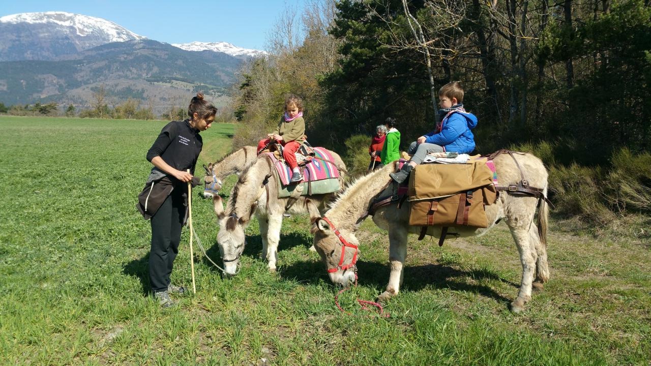
We invite you to enjoy a unique adventure (bivouac in a tent) and donkey trekking, combining discovery, sharing and immersion in the heart of the magnificent Trièves countryside. An experience for families, couples or individuals.
Randonnée et Bivouac avec des Anes - Séjour sans voiture
Saint-Jean-d'Hérans
The Huguenots Trail consists of the creation of an international long-distance hiking trail following the historical route of the exile of the Huguenots from Dauphiné.
GR965 The Huguenots Trail - Stage 14 - Laffrey - Vizille
Laffrey
Cours d'eau du canton de Clelles et Mens
Mens
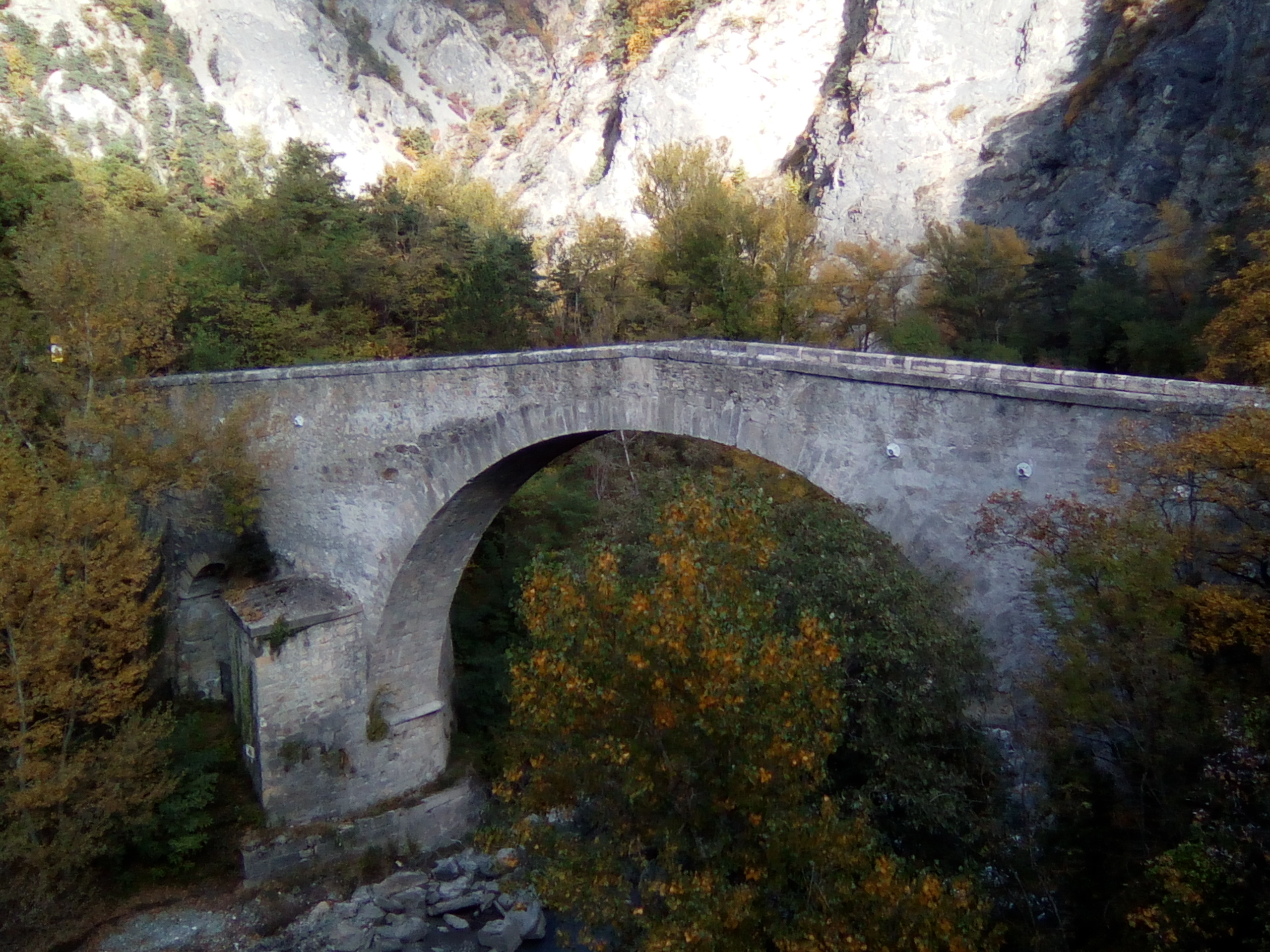
The Cognet bridge was built in 1605 at the demand of Lesdiguières. It's the unique example on the Matheysine territory of bridge built in speed bump and one of the oldest of the Isère department.
Cognet bridge
Cognet