
Hike description
Type
Signposted Loop
Altitude
Max : 1925m
The audience
- Walkers/hikers
Introduction
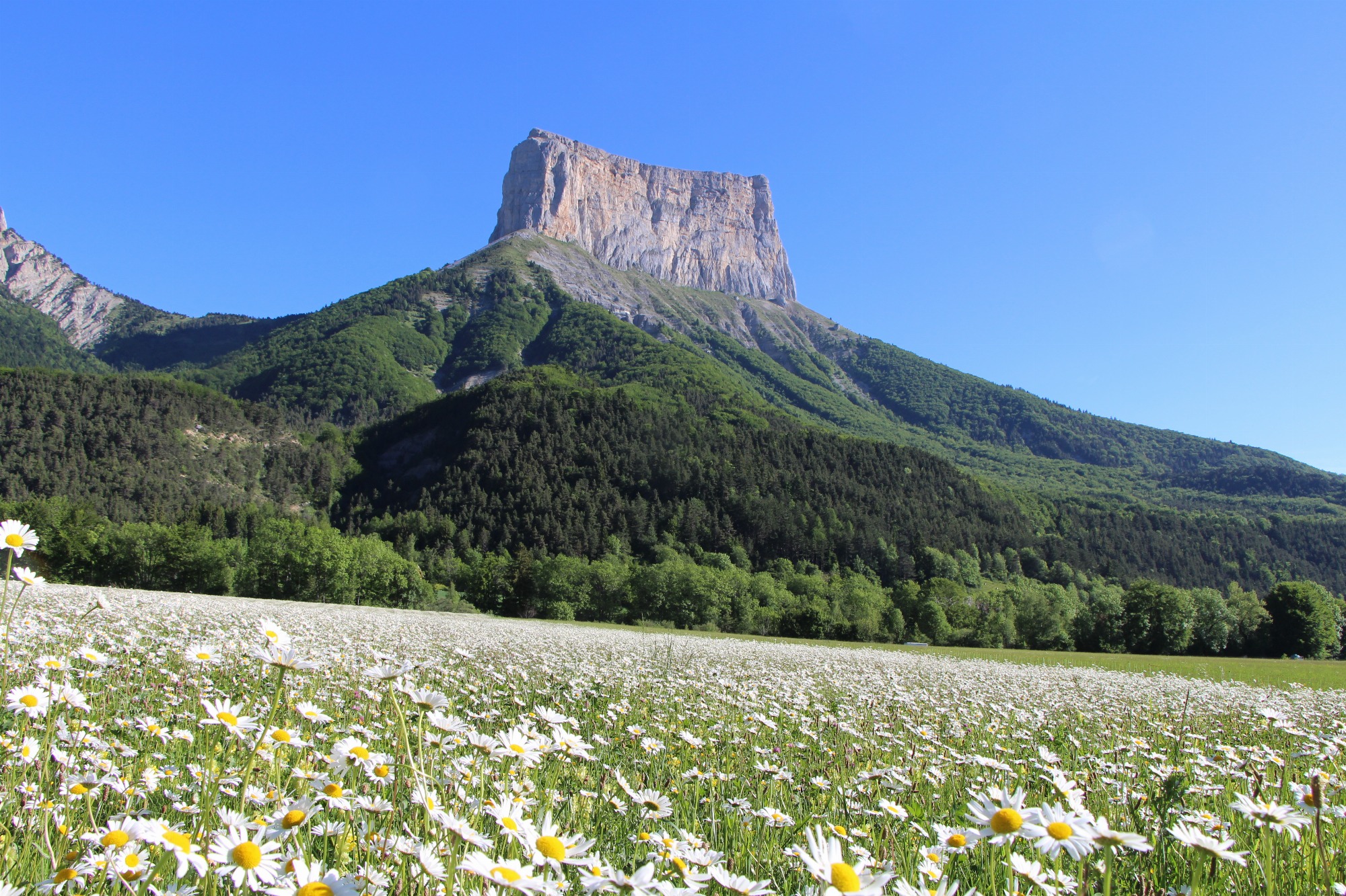
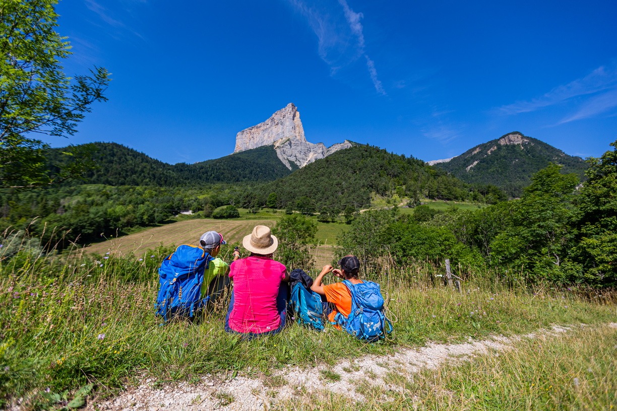
A varied route that takes you to the foot of the Grand Veymont and offers magnificent views of the famous Mont-Aiguille. The passage over the Quinquambaye ridge is reserved for experienced hikers who are not sensitive to vertigo!
Discover the two giants of the Vercors: Mont-Aiguille and Grand-Veymont! The itinerary is part of the Parcours du Mont-Aiguille, a series of trails with interpretive displays on geology, history, art, biodiversity, human life, legends... to help you better understand this emblematic and majestic summit!
Pets welcome : yes
Further detail on accompanying pets : Possible with a leashed dog.
Further information on this Hiking Trail
Marked with yellow and green lines (PR)
Tricky passes
Vertiginous passages, particularly at the crête de quinquambaye. Caution: potentially tricky passages in case of rain.
Map reference
Carte "Promenades et randonnées en Vercors Trièves"
Other information
Adaptez votre équipement en fonction de votre niveau et de la météo. Restez sur les sentiers balisés.
Useful information
Local Services
Facilities
Access
Step by step
Departure: Park at the “Champ de l'Herse” parking lot in the commune of Gresse en Vercors. This parking lot is at the end of the Gresse en Vercors ski area.
1) Head for “Baraque du Veymont” on the right bank of the Gresse stream, then take the path through the undergrowth that gradually climbs up to the hut.
2) A few metres after the hut, take the path that climbs to the left towards “Tiolache”. You'll soon come to the most vertiginous part of the hike, the Quinquambaye ridge, so be careful! After enjoying the view, descend and return to the forest as far as the “Tiolache” post.
3) Continue downhill to “Au Barri”, then take the track on the left to reach the hamlet of “La Bâtie”.
4) Follow the signs north past the chapel to “Ruisseau de Chauplane”.
5) Cross the small hamlet of Chauplane facing Mont-Aiguille before continuing to climb to “Col de l'Allimas”.
6) Continue towards “Combe Rouge”, then turn left towards “Aux Fayolles”, where you'll find Odyssée Verte.
7) Descend to “Côte Emblay”, cross to “Girard” and return to your starting point.
Location
Parking du champs de l'Herse
38650 Gresse-en-Vercors
Latitude : 44.891656
Longitude : 5.547565
Altitude : 1252m
A découvrir aussi
A pleasant itinerary with no technical difficulties, offering a variety of views of Mont-Aiguille! The route takes in a number of Chichilianne hamlets with typical Trièves architecture.
Sous le regard du géant Mont-Aiguille
Chichilianne
A forest and country atmosphere for this hike, with unforgettable discoveries along the way: the Darne viaduct, the hamlet of Trézanne, and magnificent viewpoints from which to contemplate Mont Aiguille.
Les facettes du Mont-Aiguille
Clelles